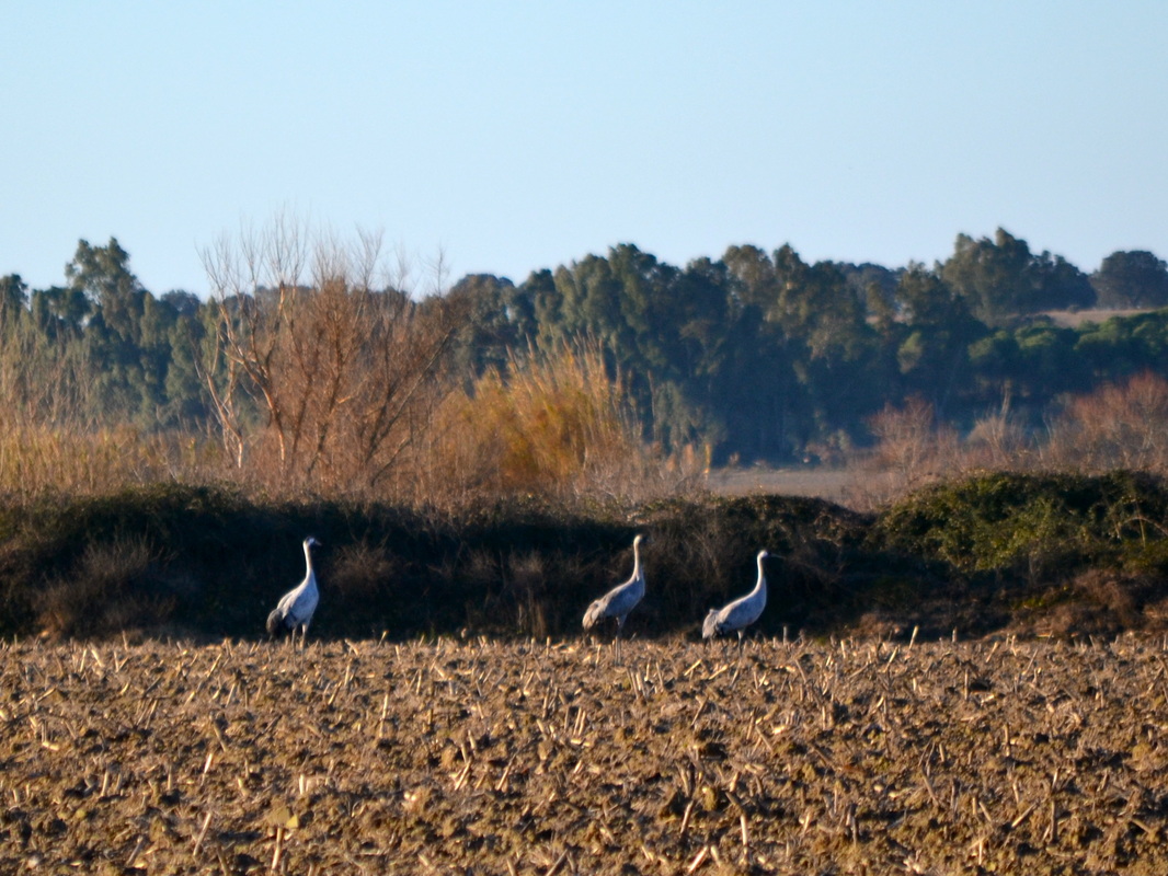
Cranes over-winter in the fields around Sopetrán
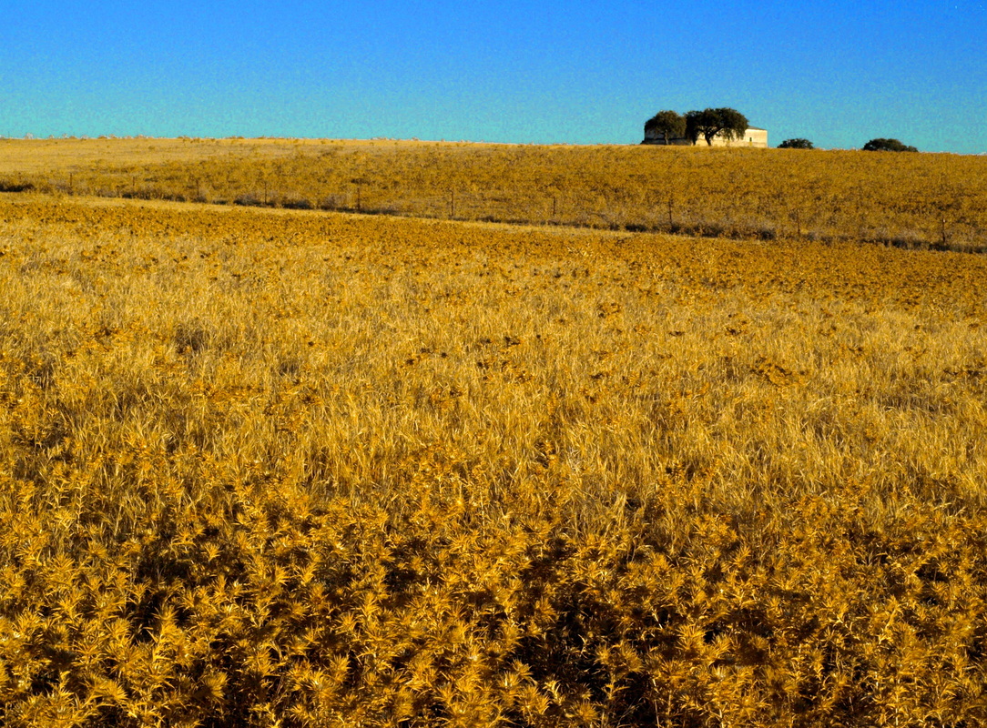
In the summer the fields turn yellow with Carline Flat-Headed Thistles
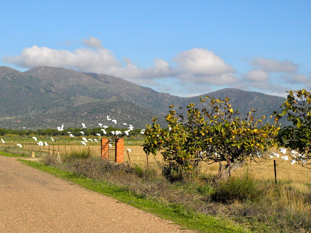
The wide flat lane back to Almoharín
|
A walk around Sopetrán
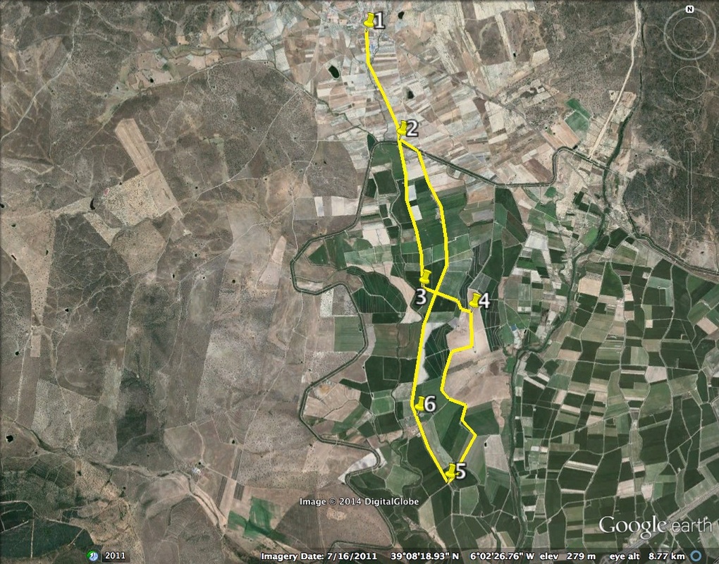
Information This walk can be a short circle or a longer figure of eight loop. It lies due south of Almoharín in flat, irrigated farmland. The whole agricultural cycle can be witnessed throughout the year; harrowing, planting, growing, harvesting and ploughing. The crops are mainly maize and tomato, destined for the plants making Italian sauces in the nearby Miajadas. During the summer, birds stay close to the water flowing in the channels that irrigate the area but in the winter visiting birds, especially the cranes, feed here in their thousands. The Sierra de Montánchez stretches out behind the village and the Hermitage of Sopetrán is a popular stopping-off point. If you want to visit the Hermitage explore the grounds or use the toilets in the park, ask for the key at the Town Hall before setting out. Start: from the roundabout on the EX-206, Almoharín Finish: as above Time: 3.5 - 4 hours Distance: 14.5 kilometres (or 8km for just the first loop) Elevation: lowest 265m, highest 285m Difficulty: almost flat — everyone can do this walk Route: circular — map by Google Directions At the Almoharín roundabout on the EX-206 Cáceres - Miajadas road, turn in to the Poligono (Industrial Estate). Park just on the right opposite the Cheese Factory with its tempting shop and interpretation centre (in six languages). Or just walk to this point from the village. 1. N39º 10’ 09.83” W06º 02’ 24.81” Walk on the well-made lane keeping the village behind you. Pass small fincas with week-end houses, figs, olives, oranges, sheep, goats, vegetable gardens and pretty cultivated flowers. At a vague Y junction with a dirt path, keep left. Continue to walk ahead towards a line of pine trees. Cross the bridge over the canal, cross the small road that runs along the canal and continue straight ahead. 2. N39º 09’ 21.56” W06º 02’ 03.01” What you will see will depend on the time of year but there will certainly be something of interest — animals, birds, flowers, bushes, trees, crops, people working the land and people going for a walk. ‘Hola’ or ‘Adios’ will get you a smile and a wave. After 2km arrive at a junction. Turn left. 3. N39º 08’ 15.66” W06º 01’ 50.30” Come to a lane. This is the centre of the figure of eight and you can walk either way but for the best views cross the lane and walk straight ahead on an unmade dirt track. The track goes uphill slightly and bears right. At the top of the small rise come to a T junction. Turn right. Look around for the extensive 360º view with Almoharín. 4. N39º 08’ 05.75” W06º 01’ 22.93” Follow this track as it winds along with the Sierra de Montánchez on the right. After 3km the track drops down to meet the same lane crossed earlier. Turn sharp right on to the lane. 5. N39º 06’ 47.31” W06º 01’ 34.67” Walk along the lane. Traffic is almost non-existent except during the summer tomato harvest when tractors use the lane from first light to lunchtime and from 18.00 to well past 22.00. On the left, pass the Hermitage of Our Lady of Sopetrán, the Patroness of Almoharín. Pass other historical buildings, also left. 6. N39º 07’ 10.26” W06º 01’ 57.28” Continue on the lane to come to the centre of the figure of eight again. Don’t worry if the sun goes down in Summer — you won’t get lost. Keep ahead to arrive back at the canal. Turn left to reach the bridge. Cross over and retrace steps to the village roundabout. Photos: March, July and December |