|
San Martín de Trevejo - Villamiel - Trevejo Circle
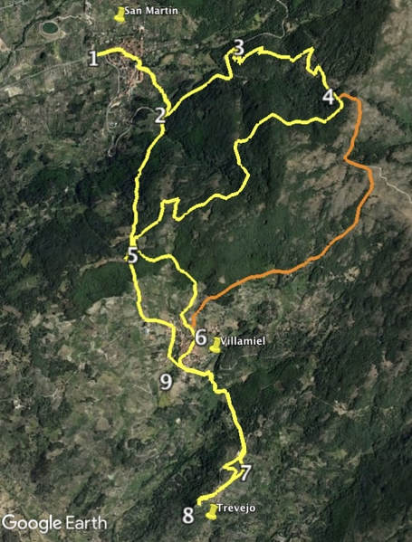
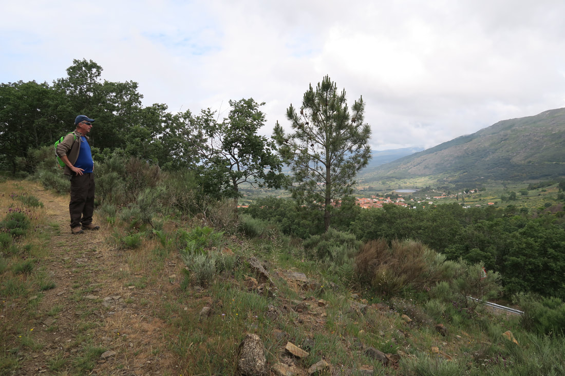
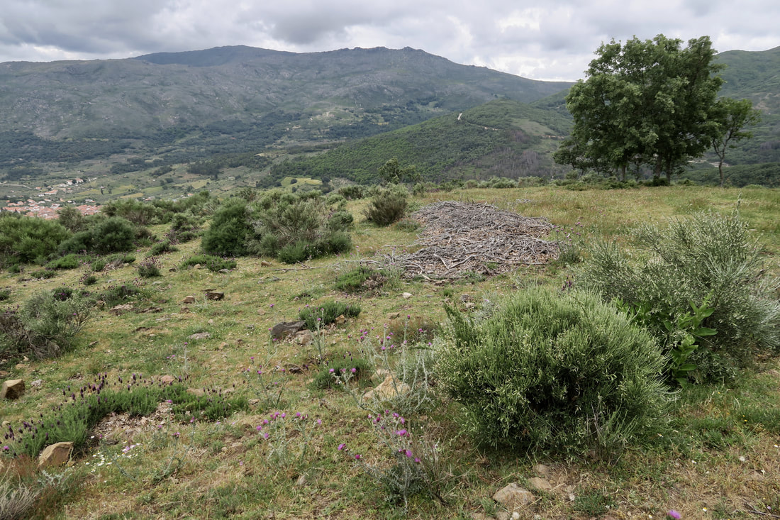
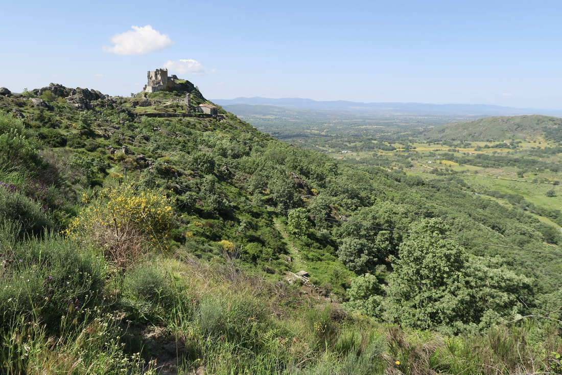
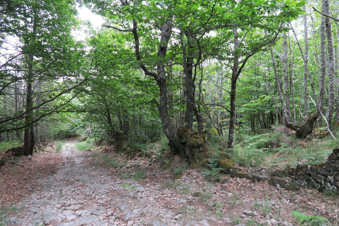
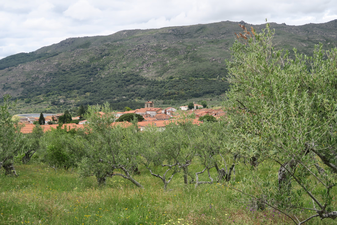
Information This route is quite tough — but not for fit walkers. It climbs out from the pretty village of San Martín de Trevejo and zig-zags up through forested slopes to reach over 1000m in height. Then comes a point where there are two options; one to continue through the trees with views to the west and dropping down to Villamiel, or, to turn on to the ancient Camino del Payo and descend to Villamiel enjoying views of the Acebo-Hoyos valley to the south-east. From Villamiel the walk continues on a pretty track to the ancient granite village of Trevejo with its imposing but ruined castle. The return is along the same track to Villamiel. Then it's a short but steep climb through woods to drop down towards San Martín once more. Start: San Martín de Trevejo Finish: San Martín de Trevejo Time: 5 - 6 hours Distance: 19 or 17.80 kilometres (11.20km circle at GPS 5 and 15km circle at GPS 9) Elevation: lowest 590m, highest 1005m Difficulty: medium - high Route: circular — map by Google Directions The best place to park is on the CCV-123 as you drive in to San Martín coming from the west. Just before you enter the village, on the left, is the Enigma café-bar. There is a lay-by on each side of the road. Park there. 1. N40º 12’ 45.00” W06º 47’ 59.10” Walk ahead into San Martín and continue straight ahead until Calle Corredera on the right. Turn into the square and leave by the opposite lane, Calle los Caños. Continue down towards the right to reach Avda. Chafaril. Cross a narrow river with a mill on the left. Turn first left to walk up this road and at the Y-junction go right as the road becomes a cobbled track.At the junction with the local road CV-11 turn left and walk on this road. 2. N40º 12’ 26.03” W06º 47’ 25.95” Face on-coming traffic (not much, if at all) until a wide view-point with information board on the left is reached. Opposite is a turning to Villamiel, CCV-22. Ignore the turning and continue on the road but take the next turning on the right and hairpin up to reach a closed, but not locked gate with a white and red waymark on the gatepost. Go through this gate and close it after you. 3. N40º 12’ 50.78” W06º 46’ 58.40” The track ahead is wide and grassy or earth. It zig-zags up in a fairly steady way through mature trees. There are views on the right over the Sierra de Eljas. After about 2.40km since leaving the road, on the left, almost unnoticed, is a small path that links to the ancient Camino del Payo. This is the alternative route to Villamiel with the views over the valley. 4. N40º 12’ 34.81” W06º 46’ 09.93” If not walking the valley view route keep on the track as it twists and winds through the trees giving occasional views of villages; San Martín, Eljas and Valverde del Fresno, to the west. Eventually the track passes through a second closed gate with a white and red waymark and drops down on to the CCV-22. 5. N40º 11’ 44.16” W06º 47’ 29.05” Turn left and walk along the road for 900m until a ’30’ sign appears outside the village. Turn right off the road to walk towards a small path on the left that runs down to the village. Turn left at the street with the row of houses. At the Y-junction at the end of the street the alternative route joins this one. 6. N40º 11’ 17.36” W06º 47’ 02.24” Both routes now follow the street all the way down to the local road, Calle Noguera. Cross the road and pick up a cobbled track that goes down on the left. Follow this track as it descends quite steeply to cross a small stream before climbing up on the other side. The cobbled track comes out on to the local road, CCV-143, where there is a sign for the GR10 and white and red waymarks. 7. N40º 10’ 40.28” W06º 46’ 34.28” Cross the road and veer left up the side of a small hill covered in low-growing flowering bushes. Follow the path to reach Trevejo — a matter of 500m. Explore the small village and walk ahead to reach the castle and to enjoy the extensive 360º views. 8. N40º 10’ 20.78” W06º 46’ 50.67” Retrace steps back to Villamiel or take the very small detour over the small hill as shown on the map. Once back in Villamiel turn left on to the local road. 9. N40º 11’ 04.60” W06º 47’ 04.65” Follow the road up and to the right to walk on the edge of the village to come to Avda de Toros on the left. Walk all the way down this street to reach a Y-junction past the bullring and park on the left. Here there is an information board on walks in the area. Turn right at the junction and walk up a cobbled path as it enters a wood. At an electricity carrier the track turns right but continues. On the right is the road previously walked down, the CCV-22, but stay on the track. Go straight over at a cross roads with a gate on the left and the CCV-22 on the right. The track drops all the way down to cross the CCV-11. Retrace steps down to the village of San Martín and back to the car. Photos: June and July |
