|
The Natural Pools of Losar
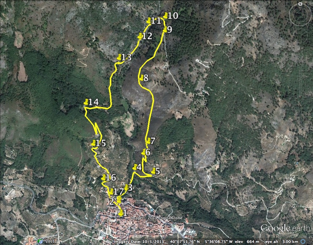
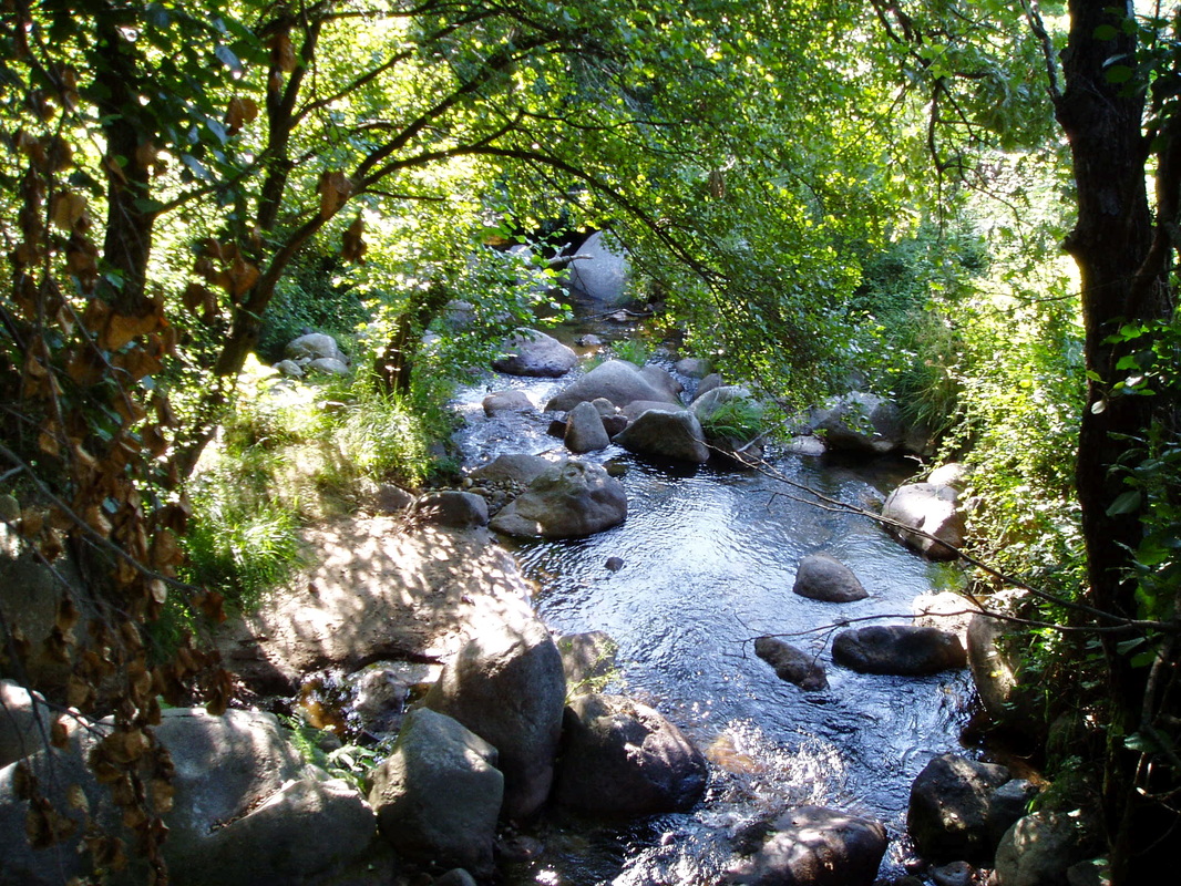
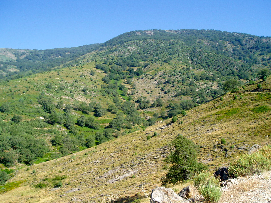
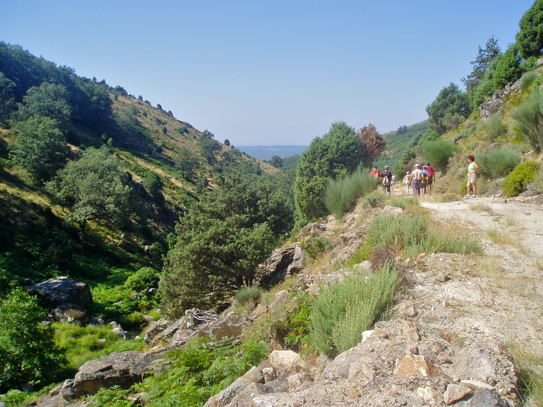
Information This circular walk starts and finishes at Losar de la Vera. There are two places to swim during the summer months but the walk is unshaded on the long climb out from the village. A hat and water are essential. During the cooler months the walk is, I feel, more enjoyable. After the winter rains the crossing point of the stream needs care but it is not dangerous. However, If you are going to do this walk in the winter ask in the village about the height of the mountain streams BEFORE you set off on the route. The tourist office in Losar is in the wooden hut in the square and they speak good English. Take a stick to help steady yourself on the stepping stones and boulders. Start: Losar de la Vera Finish: Losar de la Vera Time: 3 hours plus swimming time Distance: 7 kilometres Elevation: lowest 364m, highest 766m Difficulty: medium Route: circular — map by Google Directions Start in the village of Losar de la Vera in Plaza de Viñuela where parking is possible. Or park in one of the many side streets. 1. N40º 07’ 17.9” W05º 36’ 25.3” Walk north along the main street to Calle de la Piscina on the left. Walk to the end of the street and turn right. 2. N40º 07’ 22.5” W05º 36’ 27.4” Walk along the tree-lined street ahead. It should be going steeply down hill towards the natural swimming pool. Pass over an ancient bridge and the cool stream that never runs dry. 3. N40º 07’ 28.3” W05º 36’ 20.3” Check-out the natural pool. 4. N40º 07’ 31.0” W05º 36’ 18.8” Turn right and start the zig-zag climb out of the village. At the first junction, where there are signposts, turn left for Camino la Sierra. 5. N40º 07’ 33.1” W05º 36’ 11.1” The lane is fairly easy to follow as it zig-zags up. It is concrete and not very exciting itself but the views of the village behind and the unfolding mountains ahead are well worth the effort. 6. N40º 07’ 39.2” W05º 36’ 15.0” Continue up. Look for flowers, in season, along the verges. 7. N40º 07’ 40.5” W05º 36’ 12.5” Keep going, gently but relentlessly, up and up. At this point there is a great view back to Losar de la Vera set in the countryside. 8. N40º 08’ 04.6” W05º 36’ 16.0” The road comes to a very sharp right hairpin bend. Leave the concrete lane here. Turn left, on to a very small path hedged about with flowering bushes and ferns. Keep a lookout for foxgloves in June. 9. N40º 08’ 23.4” W05º 36’ 05.4” Walk along the path as it follows the line along the head of the valley. Take care, especially after rain, as it can be muddy and slippery. The drop to the left is considerable. However, there is sufficient vegetation to prevent actual danger. Just follow the path. 10. N40º 08’ 29.0” W05º 36’ 05.2” Pick your way along the path and climb over any boulders carefully. Don’t hurry. Enjoy the views which are breathtaking. 11. N40º 08’ 30.0” W05º 36’ 06.1” The path starts to descend steeply. It comes out at a natural swimming pool set with the tree-covered valley sides towering on either side. This is a good place to explore year-round. 12. N40º 08’ 27.9” W05º 36’ 10.3” Cross over the small river that feeds the pool and turn left on to a rough but well-defined track. From here the walking is easy. 13. N40º 08’ 13.7” W05º 36’ 23.5” The track continues very easily and enters a small wood. 14. N40º 07” 56.4” W05º 36’ 37.7” As the track continues it starts to descend back into the village. The countryside gives way to small fincas and cultivated gardens. 15. N40º 07’ 40.6” W05º 36’ 36.6” The track goes down very sharply in places. 16. N40º 07’ 31.5” W05º 36’ 30.1” Keep on the main track, ignoring any junctions. 17. N40º 07’ 26.7” W05º 36’ 31.1” At the bottom of the track come back to GPS point 2. Follow to points 3 and 4 to get back to the natural pool and dive in. Photos: May and August |


