|
The Valdemorales Valley
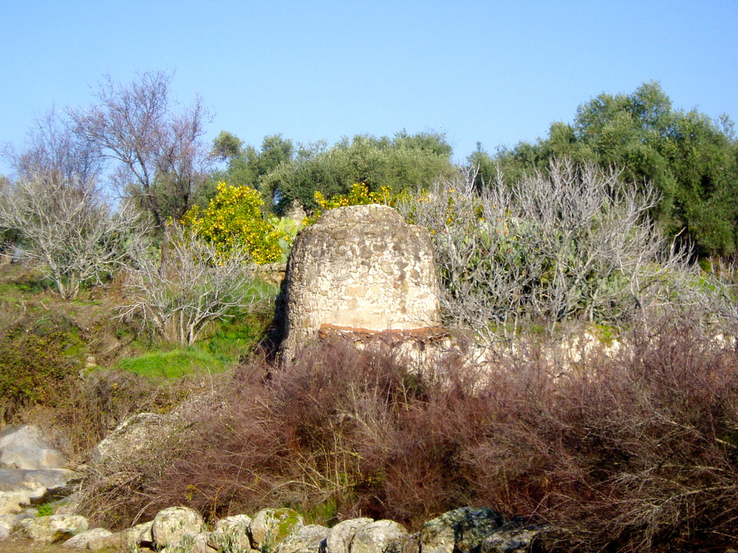
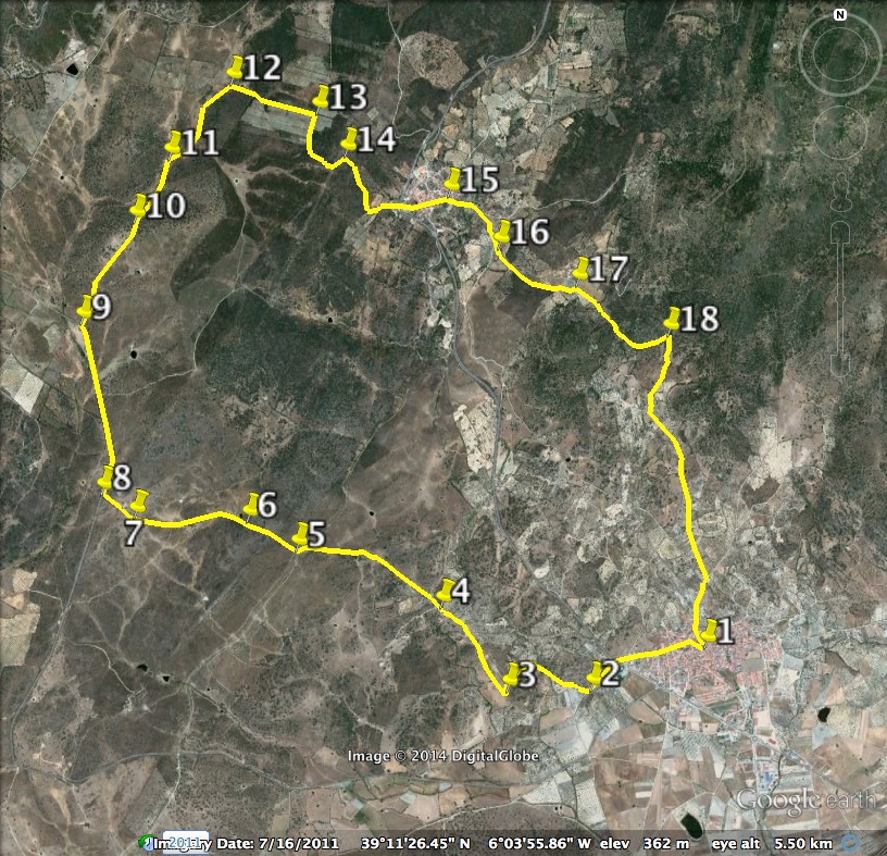
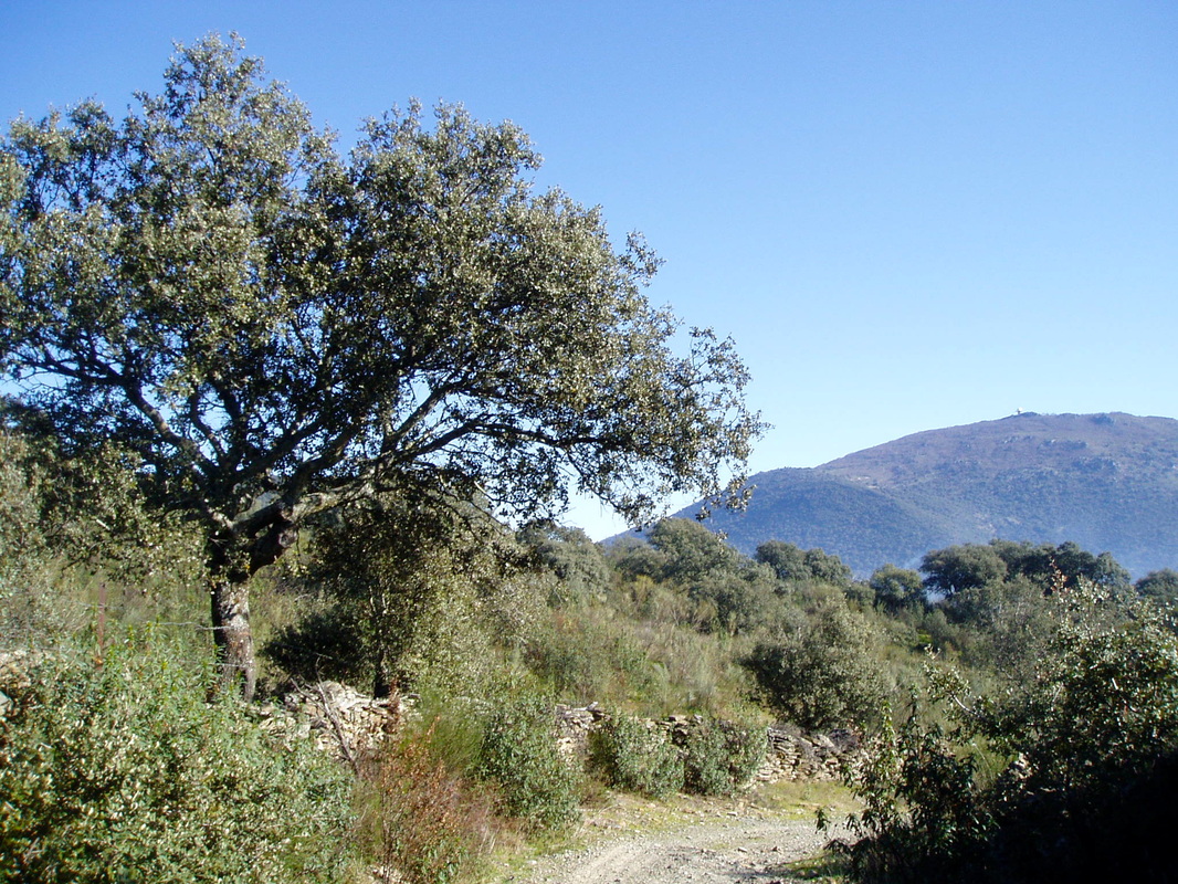
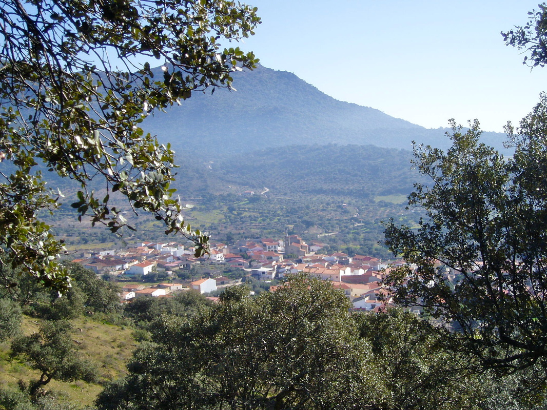
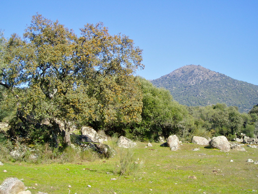
This route passes olive groves and fig plantations. It has sections that follow ancient footpaths and the old donkey trail from Almoharín to Montánchez. The middle part of the walk goes through Valdemorales with its pretty church. The final part, before dropping back towards Almoharín, follows an old trail along the side of the sierra with views over the picturesque village. The walk can be enjoyed year-round but is boggy in a few places after winter rains. Walk early or late in the summer as some stretches have no shade. Take extra water. Start: Almoharín Finish: Almoharín Time: 4 hours (approx.) Distance: 14.75 kilometres Elevation: lowest 308m, highest 550m Difficulty: low Route: circular — map by Google Start in the Plaza de España in Almoharín. 1. N39º 10’ 35.3” W06º 02’ 39.3” Turn west into Calle Cervantes. Turn left into Calle Zurbarán. Walk all the way down until the EX-206. The swimming pool will be opposite. Cross the road and walk down the lane, the Camino de Montánchez-Almoharín, ahead. The pool is on the left. Cross the ford. Turn first right up a small rough track. 2. N39º 10’ 25.7” W06º 03’ 12.9” Follow the track. Reach a junction. Bear left, going sharply downwards to cross a stream bed. Pass a ruined mill on the right (photo 1). Continue up the other side. Within 100m the path makes a sharp left turn. It continues up with great views before dropping down to rejoin the Camino de Montánchez-Almoharín. Turn right. 3. N39º 10’ 37.3” W06º 03’ 47.0” At the finca ‘La Redonda’, right, there is a Y junction. Go left. Pass fincas, left, to arrive at a crossroads. Go straight ahead. 4. N39º 10’ 47.9” W06º 03’ 59.6” Walk along a clear track through small bushes, sometimes boggy areas and rough grass. Keep straight on. This is the old donkey track that goes all the way through the valley towards the Quebrada. The track crosses the old Mérida-Trujillo medieval sheep-moving track. 5. N39º 10’ 59.1” W06º 04’ 36.8” Go through an unlocked gate on the left to enter the right of way through the small valley of the Hornillo stream. Keep ahead and pick the way along the side of the valley. Follow the track through open meadows and retama bushes. Walk ahead towards a natural spring and several granite troughs. The water is safe to drink. 6. N39º 11’ 05.7” W06º 04’ 57.8” Continue to follow the track and start to climb uphill towards a long, low farmhouse and outbuildings on the top of the hill. The views back are wonderful. The track crosses the farm with a right of way. Remember to shut the gates on passing through. 7. N39º 11’ 08.5” W06º 05’ 26.6” On leaving the farm walk towards the minor road that comes from the Almoharín-Arroyomolinos road and heads to Montánchez. Cross the road to walk towards the Quebrada Valley facing on-coming traffic. 8. N39º 11’ 11.9” W06º 05’ 37.9” Walk along the road with a magnificent view of the Sierra de Montánchez ahead. In the curve of the road recross at a green double gate on the right. The route goes through this finca with a right of way. Close the gate on passing through. 9. N39º 11’ 50.4” W06º 05’ 44.3” Walk uphill, keeping to the track, through an area of meadow and holm oaks to pass by outbuildings and a house on the left. 10. N39º 12’ 08.1” W06º 05’ 33.2” Continue on the track, passing through wooded areas. The going is downhill then climbs steadily but the way is clear. 11. N39º 12’ 35.6” W06º 05’ 09.4” Cross over a wire fence and turn right on to a well defined lane. 12. N39º 12’ 45.1” W06º 04’ 59.5” Continue ahead on this lane as it climbs steadily upwards (photo 2). The views behind are of the Sierra de Montánchez. At the junction at the top of the climb, turn right. This is the highest point of the walk, 550m. 13. N39º 12’ 28.6” W06º 04’ 26.2” Walk through an area of cistus bushes that flower profusely during the Spring. The granite-paved lane descends. 14. N39º 12’ 16.4” W06º 04’ 18.5” The village of Valdemorales is on the left (photo 3). Take a rest on the benches, then cross the EX-206 and enter the village. Walk towards the church and continue ahead to leave the village at the end of Calle de San Marcos. Turn right at the junction. 15. N39º 12’ 17.7” W06º 03’ 47.3” At the next junction, by the information board, turn left up the hill. At the next junction at the top of the hill, turn right and keep straight ahead on a very pretty path. Cross over another path. Keep straight on. 16. N39º 11’ 54.8” W06º 03’ 09.9” The pretty path winds along the side of a hill with good views of Almoharín on the right and dry stone walls with wild flowers. 17. N39º 11’ 47.7” W06º 02’ 48.9” Follow the path as it bends to the right to walk through a rock strewn track, dotted with small bushes. Keep on this track as it gets flatter until it meets a lane at a T junction. Turn left. 18. N39º 10’ 51.4” W06º 02’ 37.6” Follow the lane, with views of Cerro San Cristobal on the left (photo 4), all the way ahead to come to the outskirts of Almoharín. At the multiple junction turn right then left. Walk past the Ermita de Santa Filomenia on the right with its ancient granite cross. Keep ahead to return to the start at the Plaza de España. Photos: October, December, March and May. |
