|
A Walk with Surprises
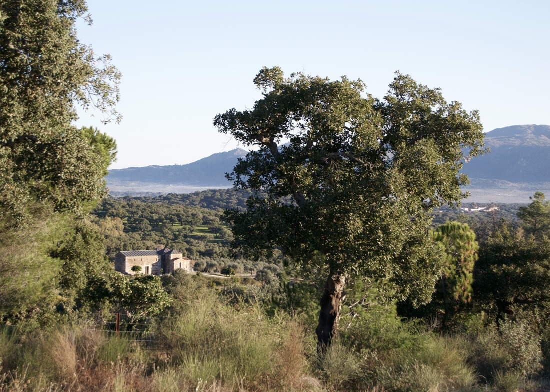
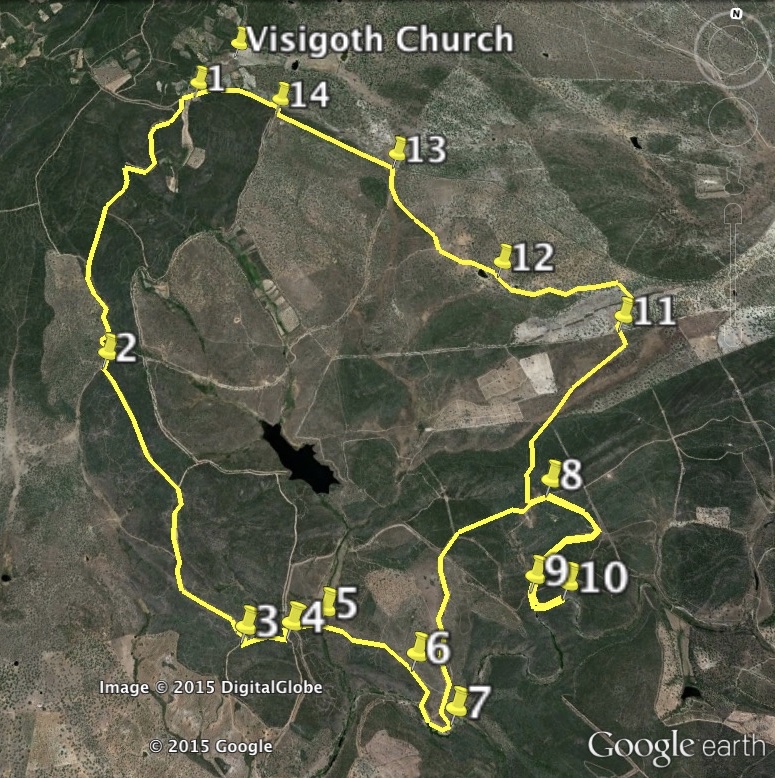
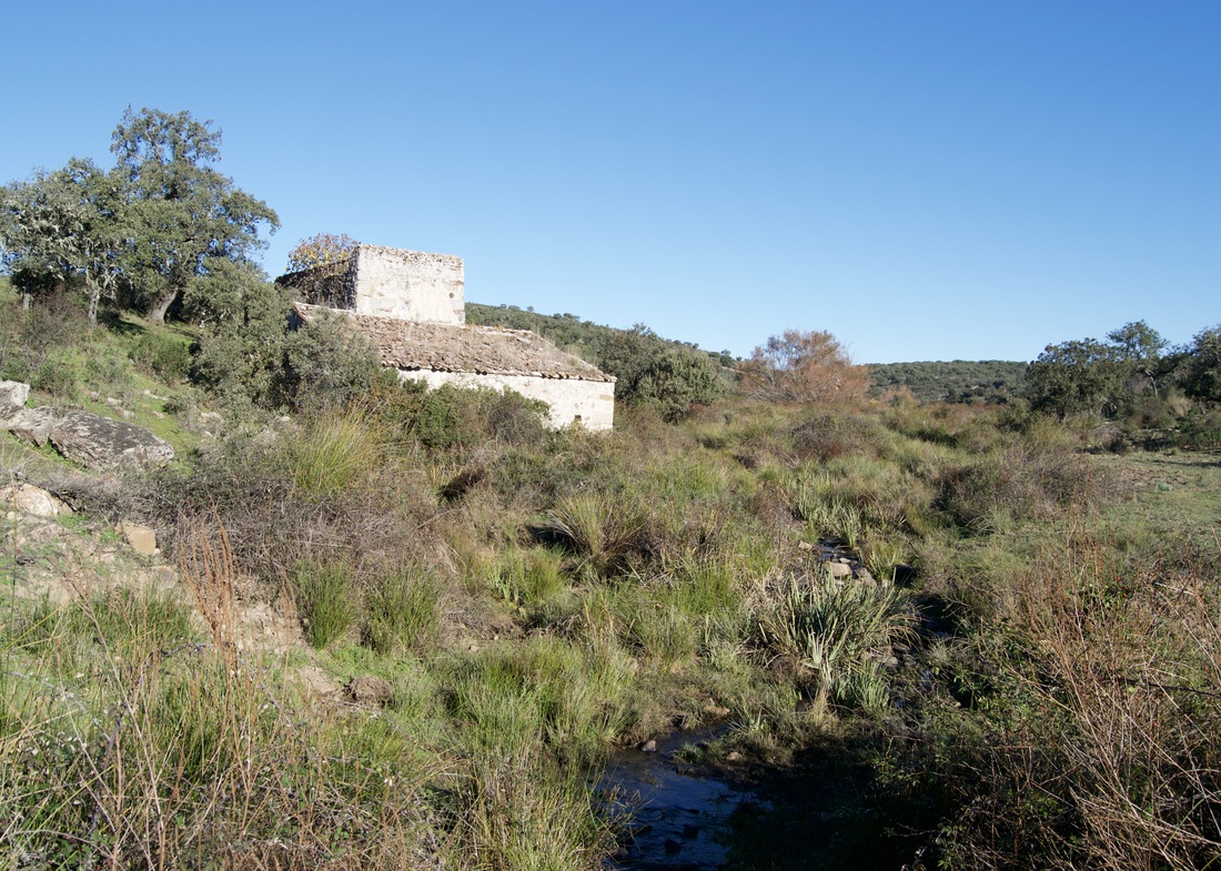
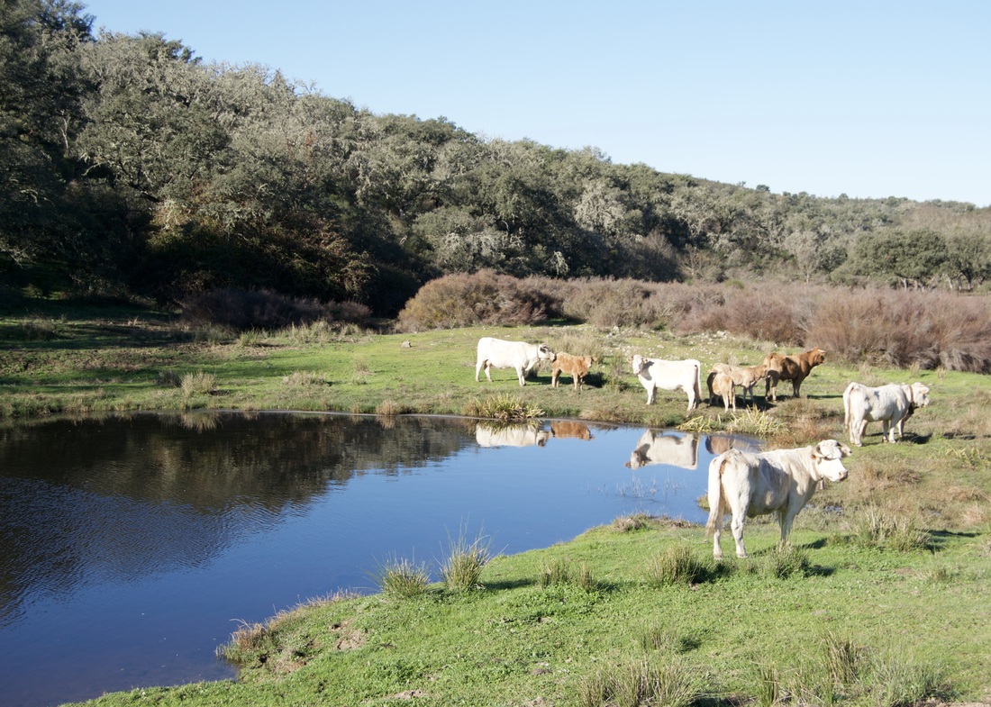
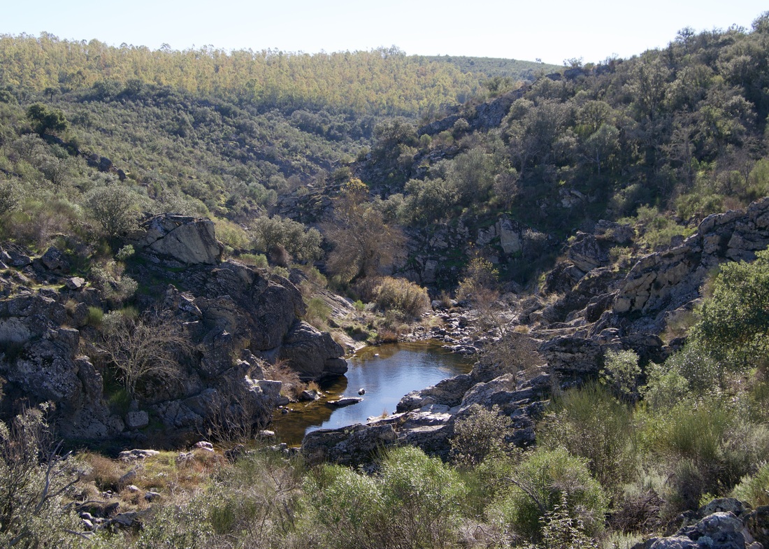
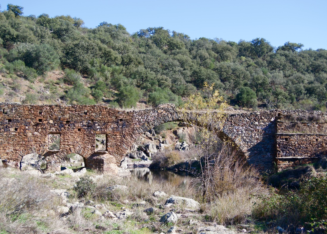
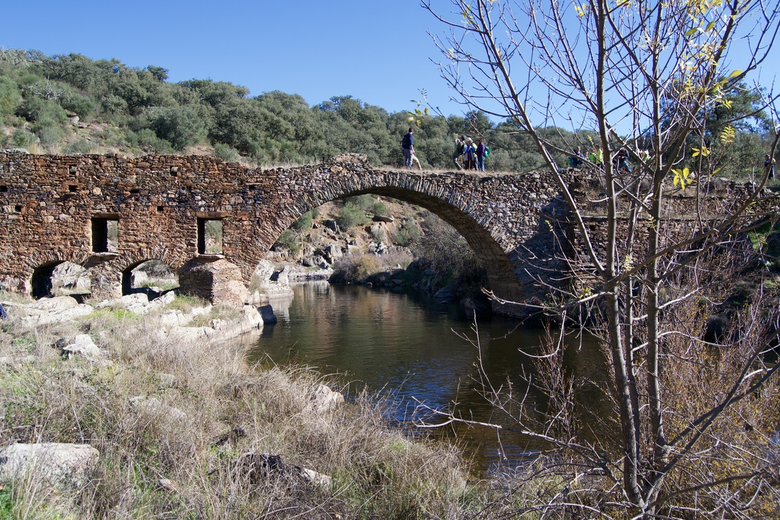
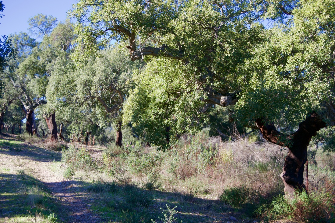
Information This walk is fairly flat although there are a few small hills that rise sharply. The route passes through extensive areas of cistus bushes, dehesa (evergreen oaks in pasture) and cork oak woods. There are two surprises on the walk. The first is a soft meadow which incorporates part of the River Aljucen and the second is a magnificent, hidden bridge. The walk is easy but the length does make a certain stamina necessary. It's not suitable for days of strong sunshine as parts of the route are without shade. It's best walked in Spring for the flowering bushes, Autumn for the colours and Winter for the raised water level in the streams and the river. Start: In the parking area above the Visigoth Church, Alcuéscar Finish: In the parking area above the Visigoth Church, Alcuéscar Time: 5-6 hours Distance: 17 kilometres Elevation: lowest 312m, highest 485m Difficulty: medium Route: circular — map by Google Directions Pass the Visigoth Church, signposted as the Basilica de Santa Lucía del Trampal from the EX-382 Montánchez-Alcuéscar road. At the top of the rise come to an open area with a low, white house and orange groves. Park anywhere in the open space. 1. N39º 8' 58.34" W06º 13' 29.40" Stand facing the white house and take the track to the left. Within metres come to a Y-junction. Take the left track. Stay on the track, which is wide and a bit rough with stones and slate, and ignore any small junctions. This is an area of cistus bushes and there are views out over the left of low, wooded sierras. At a wide Y-junction, with a small clearing on the right, take the left track. 2. N39º 7' 47.22" W06º 13' 45.45" Come to a multiple junction and take the second track on the right. Keep to this track. There are views in almost all directions. Pass a ruined building on the right. The track bends sharply to the right but on the left is an open area. 3. N39º 6' 53.06" W06º 13' 01.86" Go left here and almost immediately there are multiple choices. Ignore the first turnings both left and right. Go ahead. There are three options. Take the track on the left. Just to make sure, on the left there are bee hives. Stay on the track and ignore other junctions. The track is now soft earth and the views are ahead. Come to a T-junction where the track goes right but take the left junction and descend. 4. N39º 6' 54.67" W06º 12' 50.61" Come to a crossroads. Turn right to go through a gate. Shut the gate behind you. Stay on the rough track as it descends straight ahead. Pass a ruined building high on the left. Continue straight on over a small bridge that crosses a little stream. 5. N39º 6' 58.14" W06º 12' 42.41" Go straight on up the hill with the cistus bushes still growing profusely. The track descends and continues. As the track runs flat and just before it starts to ascend again take the clear turning on the right. 6. N39º 6' 51.17" W06º 12' 19.52" Walk in what appears to be a small stream bed for about 100m to a T-junction. Turn left. Come to a meadow where cows may be grazing. They are not dangerous and will ignore you as long as you ignore them. Do not approach them if they have calves. They may be nervous. On the right is the River Aljucen and it forms a pool below sheer slate banks on the other side. A picnic stop. The track follows the river through the meadow. On the left is a junction with a rough track going steeply up. Take this track on the left on leave the river. 7. N39º 6' 41.87" W06º 12' 09.93" Pass a modern estate house on the left and join the track to the house but go right and not towards the house. Ahead, on the right, is a view of the top of the Sierra de Montánchez and just below can be seen a distinctive white house. We are making for that house. Come to unlocked double metal gates. Go through and close them behind you. The track continues ahead. Come to a crossroads. Go straight on. Reach the white house and pass it on the right. Just after the house is a Y-junction. Go right. Pass a ruined house and walled garden on the left. At the very end of the walled garden is a small junction on the right. Go right here. 8. N39º 7' 27.75" W06º 11' 45.82" Come to an open space, leave the track and go right on a soft earth path. Within metres come to a junction. Go left. The white house is now visible ahead and right and so we are doing a U-turn. Walk ahead down a fairly shaded track through a cork oak wood. At a Y-junction there are multiple options on the right but we take the one option on the left. On the right of our track is a small stream. 9. N39º 7' 08.14" W06º 11' 50.11" Come to a fence and a T-junction. Go right to put the fence on your left. Cross the small stream and go through a gate in the fence. Follow a narrow footpath as it descends to follow another part of the River Aljucen. The river will be on the right. Again the far side of the river has a high, slate bank and is fairly dramatic. The path leads to an unexpected bridge, the Puente Serapio, that is very impressive but does not seem to serve any purpose today. Explore. 10. N39º 7' 07.40" W06º 11' 41.92" Retrace steps back to the white house. Pass the ruined house and walled garden, now on the right. Just after the house, and before you get to the white house, take the junction, right. Within metres pass another ruined building on the right. Follow the track. Reach a more open area of dehesa. Cross over a cattle grid and continue ahead. At a crossroads, straight ahead is a cattle grid and a fence. Pass over the grid and through the fence to continue on the track which bears right. 11. N39º 8' 06.68" W06º 11' 23.73" At a T-junction, go left. Pass through a cork oak wood and reach a green metal gate. pass through and shut it behind you. Follow the path as it naturally bends left — do not go right. Pass a pool on the right, the track bends to the right and passes an agricultural building, also on the right. 12. N39º 8' 17.68" W06º 11' 57.09" The track ascends and bends to the left. On the left is another pool. Ahead are a collection of agricultural buildings and the track makes for these to pass them on the left — the buildings are all on the right. The track goes to the right, around the main building and it continues. Just before a cattle grid with two low walls on either side and double metal gates on the right of the grid is a track through a gate on the left. Go left and not over the cattle grid ahead. Close the gate behind you if you find it closed (it was open the day I walked the route so I left it open). 13. N39º 8' 44.29" W06º 12' 27.90" There is a view of the Visigoth Church ahead and right. The track goes up slightly and passes through a double metal gate to come to a T-junction. Turn right. 14. N39º 8' 56.61" W06º 13' 04.02" The track bends left and passes a small weekend house on the right. There is another house further on, also on the right. The Visigoth Church is just ahead and the track comes to a T-juntion. Turn left to reach the start area. Photos: November Visigoth Church: Open 10.00-14.00 Tuesday to Sunday (Shut Monday) Open 16.00-19.00 or 17.00-20.00 Tuesday to Saturday (Shut Sunday and Monday afternoon) depending on the season |
