|
Jack's Favourite Walk
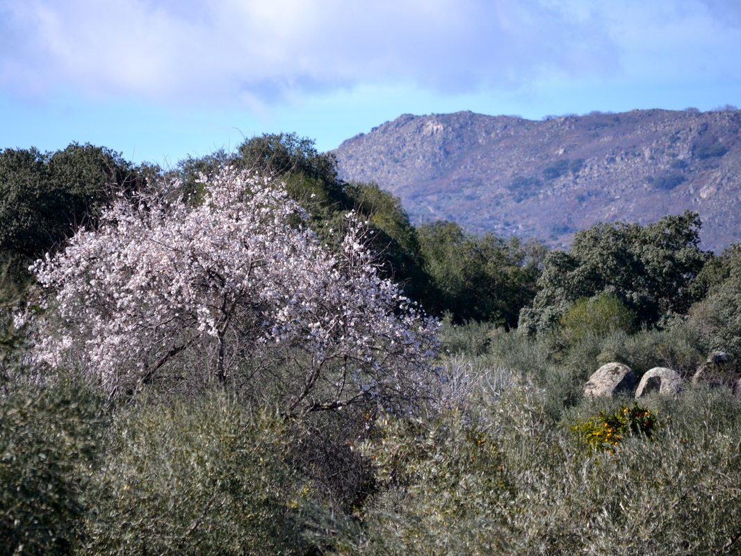
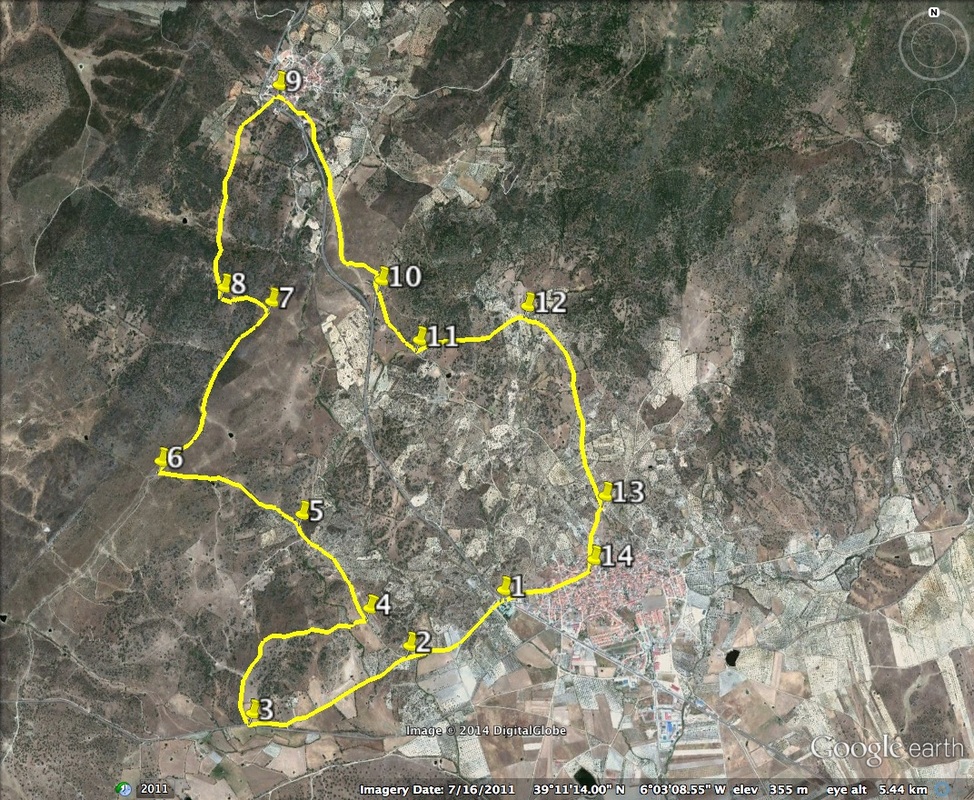
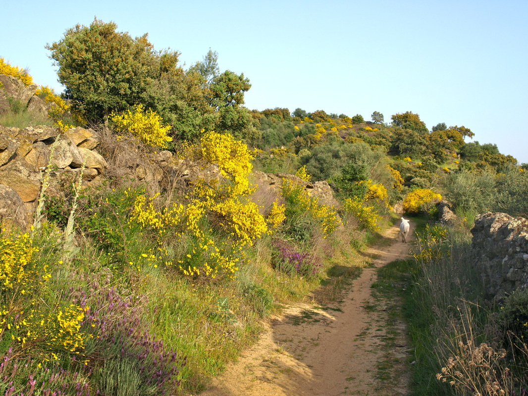
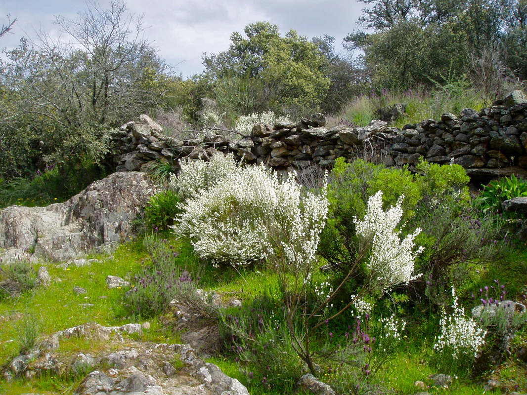
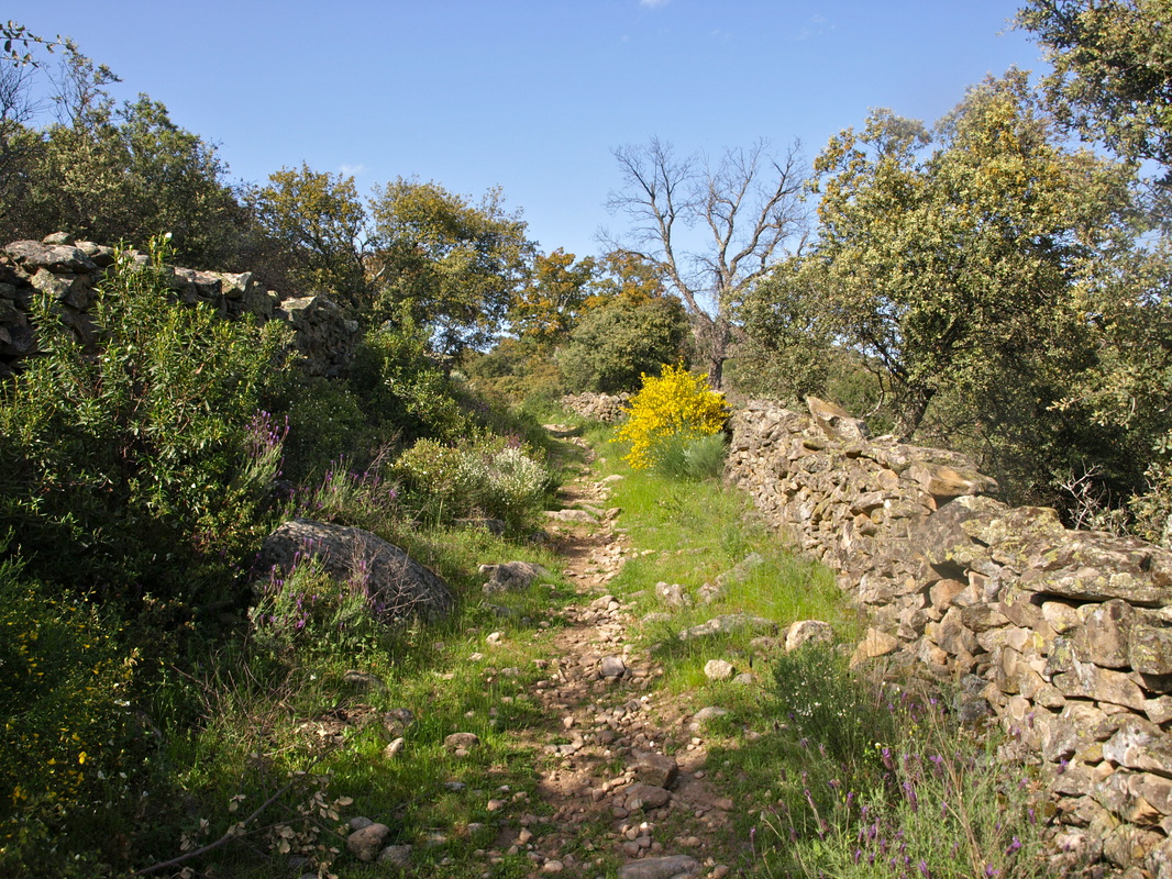
This circular walk starts and finishes in Almoharín but could just as easily do that from the village of Valdemorales. It’s my favourite route and I regularly walk variations of it with my faithful walking companion, my dog, Jack who is an Extremeño Mastin crossed with a German Shepherd and weighs in around 60kgs. I feel I can name this route as we found part of it entirely by accident (or rather Jack’s curiosity) on one of our many ‘wild’ walks. On speaking to local walkers it became clear that no-one has walked this particular route before. It’s very beautiful in spring for abundant flowering bushes and profuse wild flowers. Wear boots during the rainy season as parts of the route can be wet. Start: Almoharín Finish: Almoharín Time: 4 easy hours Distance: 13.5 kilometres Elevation: lowest 294m, highest 460m Difficulty: low/medium Route: circular — map by Google Start at the Almoharín swimming pool on the west of the village on the EX-206 Cáceres-Miajadas road. There are places to park. 1. N39º 10' 38.86" W06º 02' 39.72" Head off down the main lane going south-west and directly ahead. Walk on this lane over the two fords that cross it and take the left lane at the big junction after the second ford. 2. N39º 10' 24.79" W06º 03' 12.67" Follow the lane over the long ford and continue on, past a casa rural on the right, until the main Almoharín- Arroyomolinos road and a large electricity pole. Turn right and walk along the road for a few hundred metres and turn first right into a lane. 3. N39º 10' 06.52" W06º 04' 12.65" Walk straight up this lane and down the other side. The views are lovely from the top of the undemanding hill and the path is flower-lined in spring. At the bottom of the hill, cross the stream by using the stepping stones and continue straight on. Turn left at the junction with the larger path. If pressed for time this section can be left out - but what a shame as it’s so nice. 4. N39º 10' 28.13" W06º 03' 41.40" Continue on the path heading west with the Sierra de Montánchez in the distance on the left and ahead (photo 1). At the junction with the casa rural ‘La Redonda’ take the left path and continue straight on, past fincas on the left with houses and past an entrance over the stream to a big cattle finca, until a junction with options; left across the stream, straight on a narrowed path or right uphill. Take the narrowed path straight ahead. 5. N39º 10' 45.37" W06º 03' 56.60" Continue straight on this path (photo 2 looking backwards when Jack and I did this walk in reverse) which becomes a track until it meets the old Mérida-Trujillo sheep-moving track at a wide T junction with a stone-walled finca on the right. Turn right. 6. N39º 10' 58.47" W06º 04' 39.12" Walk straight up this wide, open track with the Cancho Blanco ahead in the distance. The track passes through lovely areas of yellow, then white broom, lavender and cistus (photo 3). In late Spring there are hundreds of foxgloves and other wild flowers. After 1.25 km. the track widens out into a grassy area. On the right is a well-made stone wall. On the left, look for a finca gateway with a diagonal crossed gate. To the right is a small hedge-lined and stone strewn track. There is a large encina tree on the right of this track and another gateway also on its right. Take this tiny track. 7. N39º 11' 32.08" W06º 04' 08.14" The track is the only difficult bit as it is very rocky. Pick the way carefully. However, it’s much easier going up than coming down! It climbs into a wooded area quite steeply. Keep going straight up. At the top the track joins a pretty flower-lined but concreted path in a T junction. Turn right. 8. N39º 11' 34.48" W06º 04' 19.69" Look at the wonderful view of Almoharín behind. Follow the path (photo 4) straight on to Valdemorales. Cross the EX-206 and walk through the village keeping to the right. 9. N39º 12' 19.00" W06º 04' 05.61" Pick up the old Valdemorales-Almoharín road and pass the wild flower information board on the left. Follow the old road as it winds its way sharply down to a wide junction. 10. N39º 11' 37.53" W06º 03' 38.58" Follow the road as it becomes a lane and goes straight on. After .45km there is a gate on the left and a small stone wall lined track. Follow this track up the hill. 11. N39º 11' 23.95" W06º 03' 37.73" Look at the views behind as well as ahead. Drop down the other side of the hill past the landmark boulder in the middle of the path. At the end of the path is a wide space and a junction. Turn right to follow the wide lane as it drops all the way back into Almoharín. 12. N39º 11' 30.01" W06º 02' 54.31" At the junction on the very edge of the village turn right. 13. N39º 10' 51.35" W06º 02' 37.43" Enter the village by following this road via the Ermita de Santa Filomena on the right. Continue to walk straight through the village until the junction with calle Zurbarán on the right. 14. N39º 10' 38.94" W06º 02' 42.57" Walk all the way down this road to arrive opposite the pool. Photos: January, March and April |
