|
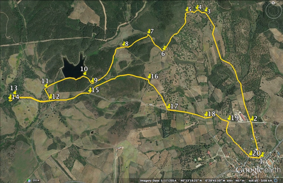
The Walk of the Dolmen
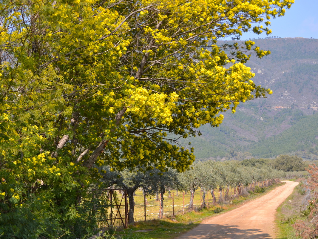
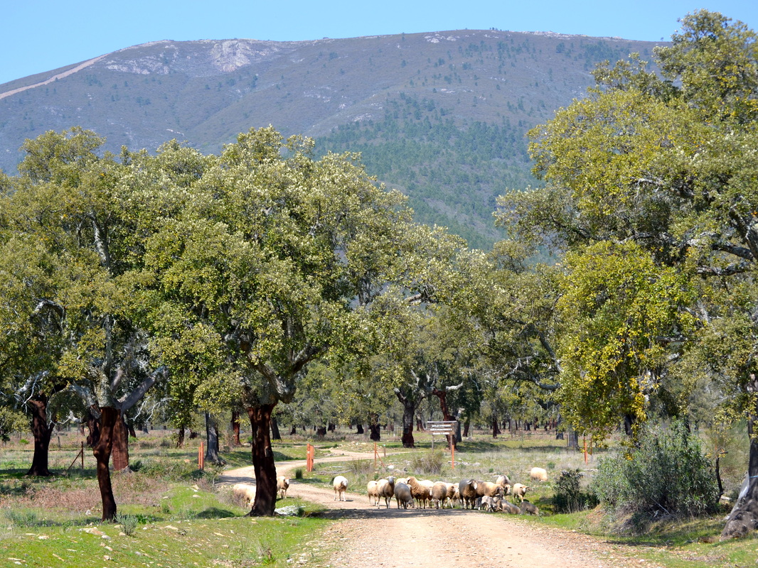
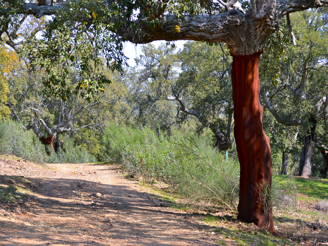
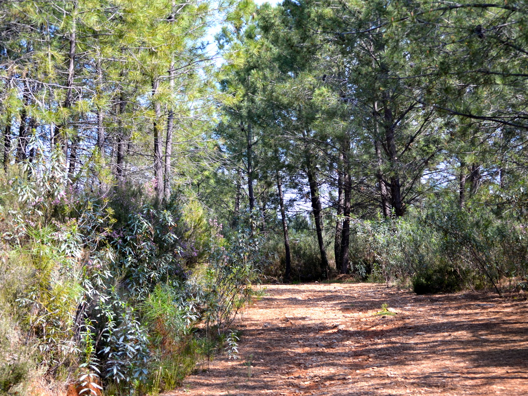
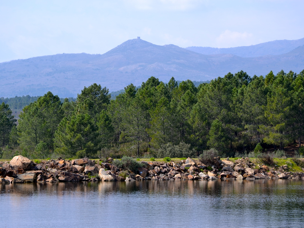
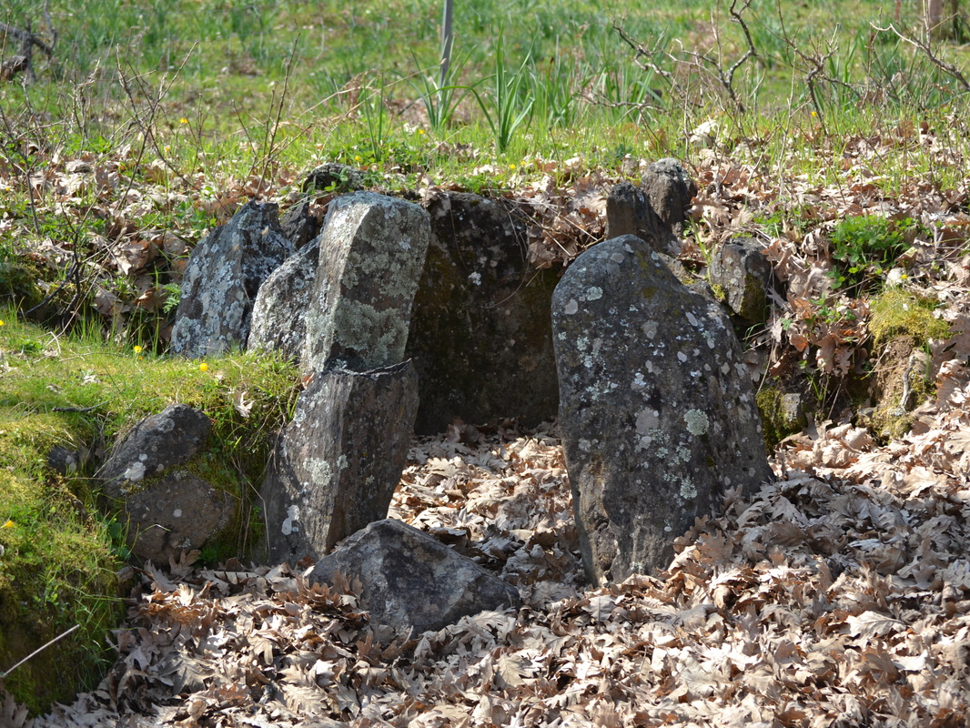
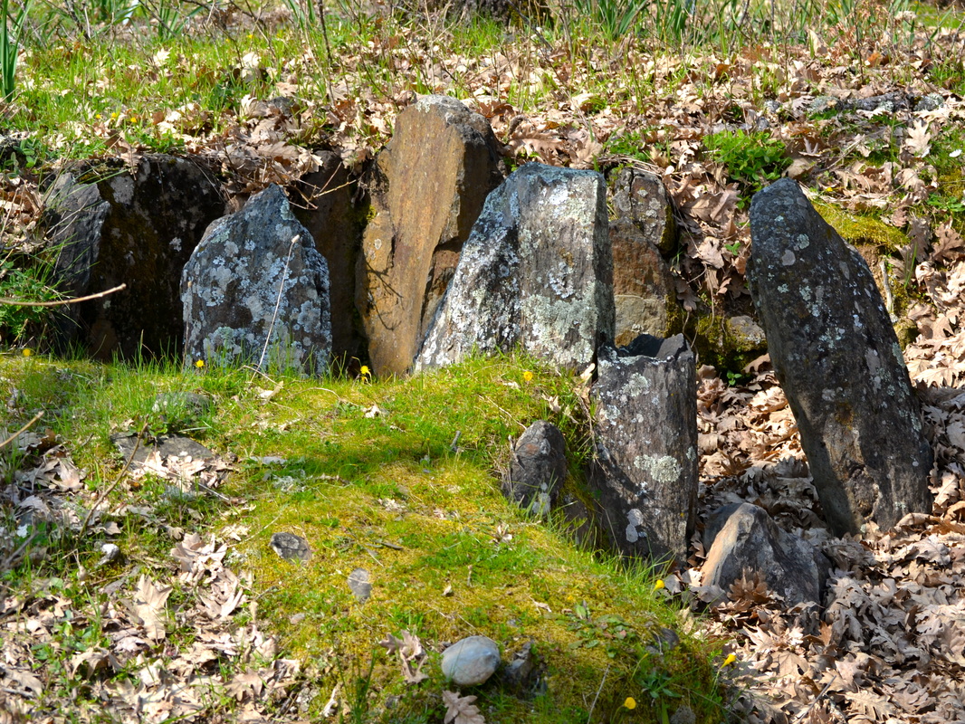
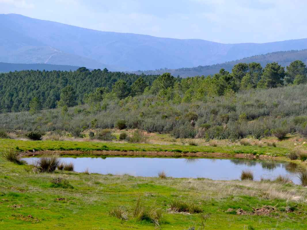
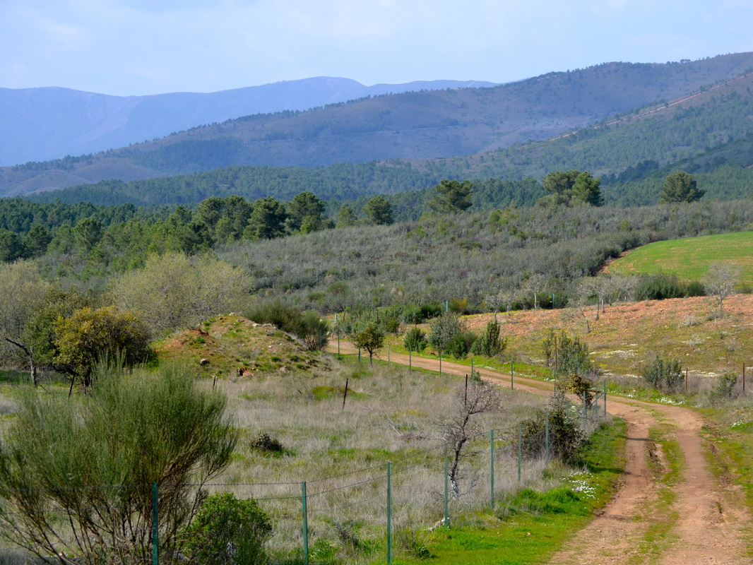
Information This walk is just brilliant. It has quiet lanes and footpaths, pasture and woods, a lake with swimming and bird watching opportunities, wonderful views, and it has a 2000+ year old dolmen. It is neither difficult nor long and walkers will get enormous pleasure from the route. Start: Hernán Pérez Finish: Hernán Pérez Time: 2.5 hours plus stops Distance: 10.5km Elevation: 415m lowest, 505m highest Difficulty: low Route: circular — map by Google Directions Drive into the village of Hernán-Pérez on the main Hervas-Hoyos road EX-205. Park anywhere on the designated side of the road, left coming from Hoyos and right coming from Hervas. Locate Café Bardolmen on the EX-205 as a landmark. Walk about 100m along the road in the direction of Hervas to find a set of signs starting with ‘Hostel del Abuelo Restaurant’ and ‘Colegio Publico. There will be traffic lights and a pedestrian crossing. Just by the set of signs is an information board showing the map of the route we are going to walk, the SLCC 203. The walk is fairly well waymarked with white and green horizontal flashes on rocks and wooden posts. 1. N40º 12' 49.2" W06º 27' 46.1" With the information board on the right, and the EX-205 behind, walk straight ahead on the concrete road. There are two large sheds on the left with greenish doors. One shed is marked ‘San Sebastian Hernán-Pérez’. Walk towards these shed and pass them keeping them on the left. The road passes fields for grazing animals. Ahead is a view of part of the Sierra de Gata. The concrete road is well-made with street lighting. At the end of the concrete road the street lights stop. On the left is the ‘Co-operativa del Campo San Sebastian’ and that explains the road and lights. Just before the co-operativa, come to a crossroads. Go straight ahead down a compacted earth track. There is a finger signpost on the right indicating ‘Dolmen del Maton’ so this is our track. 2. N40º 13' 03.8" W06º 27' 47.8" The track has neat drystone walls on both sides. There is a profusion of cistus bushes and ahead is the distant sierra. The track goes up slightly. At the top of the rise is an entrance, left, into a finca. There is a view of Torre de San Miguel ahead and left. On the right, is an imposing gateway to a finca. Continue ahead, going down slightly. Keep on the track and ignore any small turnings. There are holm oaks and pasture on both sides. Good bird spotting countryside. The going is quite flat and the track meanders past olive groves and oaks. After about 30 minutes walk reach a pair of metal gates that are probably standing open. On the right hand metal gate post is a waymark. Continue ahead into an extensive cork oak grove. On the right is a wooden information board, ‘Junta de Extremadura, Monte de Utilidad Publicia No 15, Majada y Bardal’. On the right is a waymark post. Immediately reach a Y junction. Take the left path that leaves the track we have been following. 3. N40º 13' 55.0" W06º 28' 03.6" On the left after about 12m there is a waymark post. Follow the small, but well-defined path. The majority of the cork oak trees are on the right. White broom is everywhere and a small stream is on the left, flowing in season. The path bends left to cross the stream via a ford. 4. N40º 13' 56.6" W06º 28' 08.9" Immediately after the ford is a Y junction. Ignore the path, left, that goes to an agricultural building. Look right and up the small, sharp hill. At the top, on the right, is a waymark post. Go right to take this path, now a small track, and make for the post. At the post, turn right and pass a ramshackle agricultural building. Dogs may bark but they are safely tied up. This is a public right of way. Continue on to another waymark post on the right. Pause to look at the views all around. The track bears left. 5. N40º 13' 55.8" W06º 28' 15.2" Descend sharply on the track which then climbs up once more, then drops down. As the track drops there is a Y junction but both tracks join within a few metres after going past some trees. On the left is a waymark on a fence post with a lovely view of distant villages beyond. Take time to look back at the views. The track goes through an extensive area of waist-high cistus. There is a fence on the left. Keep on the track and enter a small mature cork oak wood once more. Come out from the wood into an area of cistus bushes again. On the left is a view of the village of Villanueva de la Sierra and ahead is a much more open view. Behind, the sierra is visible above the tops of the cork oak trees. The Castle of Amenara ruins are on the right. By an enormous cork oak tree there is a waymark post, right. Come to a vague crossroads junction. Turn right. 6. N40º 13' 37.0" W06º 28' 31.0" Just ahead is another waymark post on the left. On the left is a huge open area of pasture. The track goes down sharply and winds around. Look out for the rolling scree but look up at the views ahead as well. Just as the track levels slightly, reach an inverted Y junction. On the right is a white and green cross on a post. Do not go that way but turn, left, off the main track. 7. N40º 13' 45.4" W06º 28' 38.9" Follow the track as it curves back and round through high cistus and Spanish heath bushes. Ahead are a few pine trees and the track enters a small dotted pine wood. The Castle of Almenara ruins are dead ahead. Reach a crossroads. Ignore left and right turnings. 8. N40º 13' 40.2" W06º 28' 54.4" Straight on, at about 100m a metal gate can be seen. Make for the gate. (There is a waymark post on the left but it may be hidden by cistus bushes.) On the left metal gate post is a waymark. Pass through the gates, enter a small pine wood and follow the dirt track as it bears left. Lavender bushes mix with cistus in the wood. Spring here is beautiful. Come to a junction on the right made by a gap in a fence. Turn right. 9. N40º 13' 23.8" W06º 29' 12.3" On the right, probably hidden by bushes, is a post. When I walked here the post had two nails but no information. No matter. Follow the track sharply up through some pine trees and, right, is a waymark on a rock. Reach the rise of the hill and, spread out ahead is Lake Lanchera with the Castle of Almenara ruins in the distance. There is a waymark on a left gatepost so, turn left. 10. N40º 13' 27.5" W06º 29' 16.5" Walk with the lake on the right keeping a look out for bird life. Reach the lake’s edge as the path turns away, right, to follow the lake around. The whole area deserves to be explored for flowers, trees, birds and butterflies. It’s a delightful place. However, to continue the walk, come back to this point. For our walk, do not turn right to follow the lake around but continue straight ahead. The track goes downwards sharply, levels and then rises. Pass a waymark to go left. 11. N40º 13' 22.8" W06º 28' 38.0" Pass through an area of pasture, a few trees, beehives tucked in on the right, and some agricultural buildings ahead. Reach a small tarmac lane. 12. N40º 13' 17.0" W06º 28' 34.4" At the lane is a finger signpost. The Dolmen is 500m right, and Hernán-Pérez is 3.5km, left. Turn right on to the lane. Pass an agricultural building on the left where there may be a few lazy old Extremeño mastiffs. They are friendly but may bark. Just ignore them and continue walking and they will not bother you. The lane passes through open pasture with huge deciduous oaks dotted around the area. 13. N40º 13' 20.7" W06º 29' 55.1" Come to a simple finger signpost on the left with the word ‘Dolmen’ on it. Leave the lane to enter into an open wood of deciduous oaks. Head for the information board, in Spanish, Portuguese and English and the fenced area, with open gate, to see the actual dolmen. Take time to absorb the atmosphere. 14. N40º 13' 18.8" W06º 29' 57.4" Leave the wood and head back to the lane, turn right and head for Hernán-Pérez. Pass a sign, at a turning left, for ‘Lake Lanchera’ but continue on the lane. About 75m on, turn left off the lane, at a waymark, left. 15. N40º 13' 19.7" W06º 29' 13.9" Follow the earth track, through trees and flowering bushes. Pass a small ruined building, left. The track rises and gets a bit rougher with a small valley on the right where a tiny stream flows in season. Just after a pool on the right, which may be dried up in the summer, come to a T junction. Ignore left. Go right towards a gateway. 16. N40º 13' 24.2" W06º 28' 40.8" Just before the gateway there is a waymark post and on the gateway there is a waymark on the right post. Look back for a lovely view of the valley and sierra beyond. Walk through the gateway and continue on the small track with sheep fencing on both sides. There are bushes of broom and cistus on both verges. There are open views of pastures and a few trees all around. Behind, the Castle of Almenara ruins can still be seen. After a steady climb, come to the end of the fence on the left where there is a waymark and a junction. Do not go left — there is a white and green cross on the wall. Stay on the main track as it goes right. The track drops down slightly to rejoin the small concreted road we walked on earlier from the dolmen. 17. N40º 13' 10.7" W06º 28' 31.57" Turn left to head towards the village. There are waymarks but these are no longer needed. Arrive at a multiple junction. The road goes around to the right but ignore this. Ignore two other turnings both left. Walk straight on. There are waymarks, almost everywhere, to help those in doubt. 18. N40º 13' 06.7" W06º 28' 11.9" As the road winds around it passes olive groves on the right and pastures and holm oaks, left. Ahead is the village of Villanueva de la Sierra halfway up its sierra. There may be a few grazing animals. Come to an inverted Y junction. Do not go straight on but turn right. 19. N40º 13' 04.4" W06º 27' 59.9" Walk ahead on the road and pass an electricity carrier, right and agricultural buildings left and right. Keep on the road and do not get side-tracked into a finca, right. The village is on the right and the road winds around to enter the village proper just a few metres from the start. Immediately right is Café Bardolem and the first port of call for refreshments. The café is run by Meli and is open seven days a week, does not shut during the day for siestas and is perfect for walkers. 20. N40º 12' 50.0" W06º 27' 51.78" Photos: March |
