|
Carlos V — the Short Walk
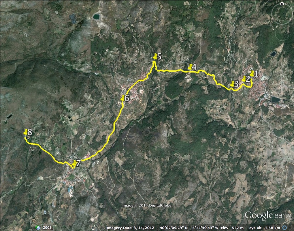
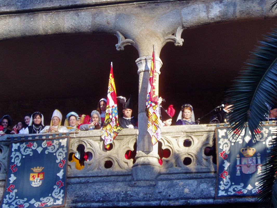
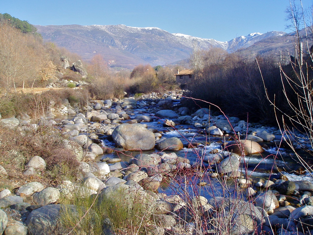
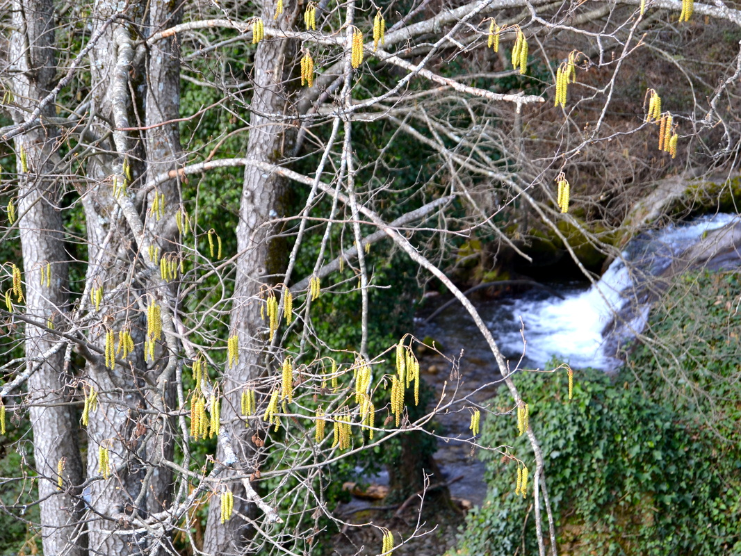
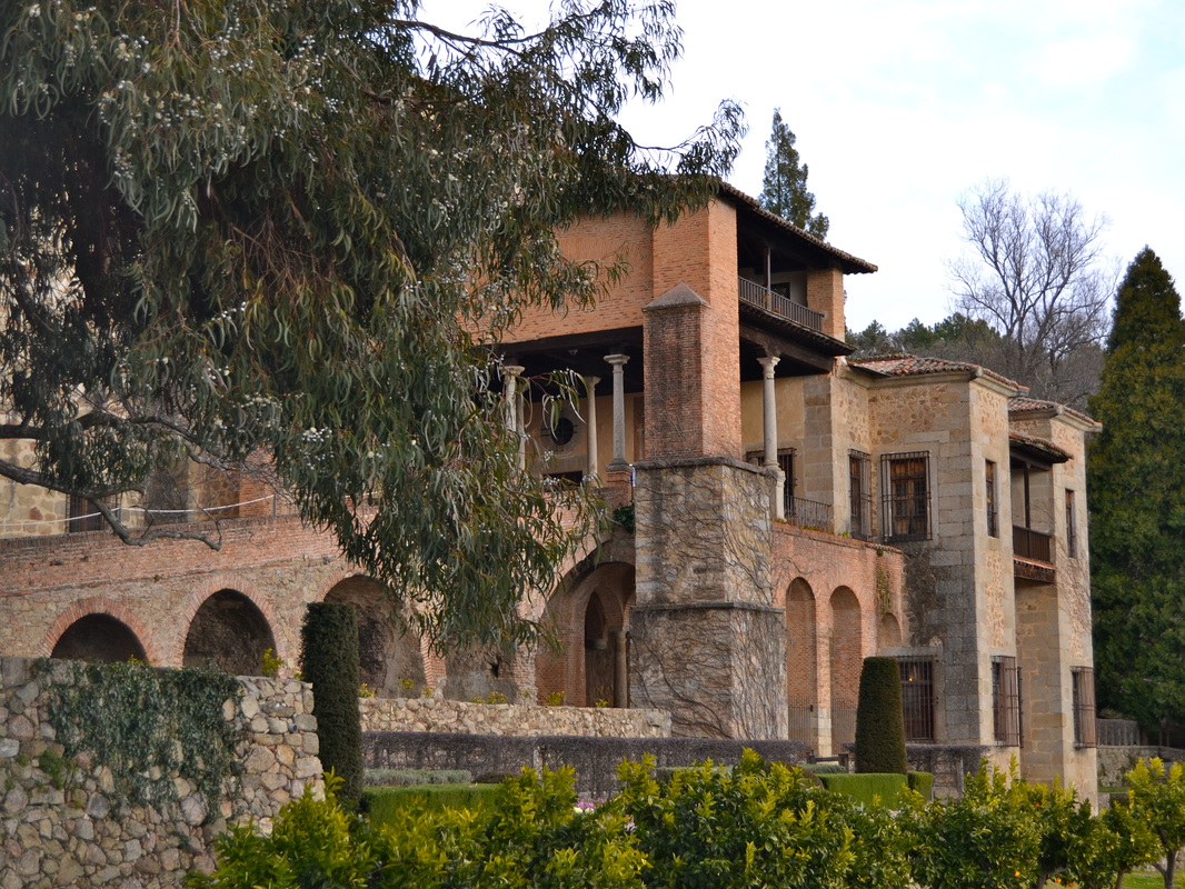
Information After Carlos V retired he made the journey from Tornavacas to Jarandilla (traditionally walked in November). He rested in the Castle in Jarandilla until his rooms were ready for him in Yuste Monastery. He had chosen this place for his retirement as it reminded him ‘forever of Spring’. The route is extremely easy with sign-posts and maps at every junction. Most of the route is paved with cobbles. Thousands of people from all over Spain, and Portugal, walk the route during this weekend every February. (Carlos V was married to Isabella of Portugal and they were the parents of Felipe II.) There is a re-enactment of the departure from Jarandilla and arrival at Yuste of Carlos V. It’s quite spectacular with costumes of the period, a lot of music, a few speeches and it is, quite honestly, tremendous fun. I’ve watched it seven times now (2014) and still enjoy it. The villages along the route are decorated with flags. Local people dress up and provide refreshments and at every stage of the walk there are helpers from the Red Cross and the Guardia Civil just in case of twisted ankles and other mishaps. Start: Jarandilla de la Vera Finish: Cuacos de Yuste Time: 3 hours (plus) Distance: 12 kilometres Elevation: lowest 521m, highest 658m Difficulty: low Route: linear — map by Google Directions of the route as walked on the commemoration date. The first thing to do on getting to Jarandilla de la Vera is to join the queue in the Paseo de Ruiz Jiménez for hot chocolate and pastry sticks to dip in the chocolate. Fortified, go to the Castle and watch the re-enactment of the departure of Carlos V and his court. Fall into step and, along with thousands of other walkers, set off. 1. N 40º 07’ 46.0” W05º 39’ 38.0” Pass the Castle on the right, turn right, cross the road left in to Cuesta de los Carros, pass the Church of Santa Maria de la Torre on the right, turn right and head off down the lane. 2. N40º 07’ 36.2” W05º 39’ 52.6” This lane is made of rough cobbles and falls down quite steeply to a small bridge that crosses the river, the Garganta de Jaranda. 3. N40º 07’ 35.8” W05º 40’ 02.9” Continue on the other side as the lane rises up from the river level into a deciduous oak wood. Look behind to see the back of the church and Jarandilla with the snow-topped Gredos Mountains beyond. The walking is easy. Pass through areas of farming, especially olive and cherry trees. After half an hour the lane shadows the main EX203. 4. N400 07’ 51.7” W05º 40’ 44.5” Enter the outskirts of Aldeanueva de la Vera and cross the EX203 to turn right into the Calle del Puente Viejo to cross the river, the Garganta de San Gregorio. After rain, the water level is high and picturesque. 5. N40º 07’ 52.8” W05º 41’ 36.2” Walk into the main plaza of the village and through the main street, decorated with flags. Cakes are handed out by costumed villagers along with more chocolate or other drinks. Once on the other side of the village again cross the EX203. 6. N40º 07’ 20.8” W05º 42’ 19.5” The lane is clearly marked. Follow the signs. Pass through more farming countryside, with the snow-topped mountains an impressive backdrop. Enter an oak and hazel wood and cross the river again. There are some small but picturesque water falls to the right as you cross the bridge. Walk into the old village of Cuacos de Yuste and its ancient plaza decorated for the event. 7. N40º 06’ 18.8” W05º 43’ 22.8” Walk up the road with the Plaza on the left. At the top turn left to come out on to the main EX203 road. Look back to Aldeanueva. Cross at the crossing ahead and walk ahead up a lane between houses. Enter a small wood. Follow the path to the left. Come out on to the main EX391. Turn right and walk uphill for 2 kms. passing an ancient stone cross, La Crux de Humilladero, on the left and the heraldic arms of Carlos V on the right, to the Monasterio de Yuste. A welcoming ceremony is held in the Monastery Church for the Emperor and it is possible to just walk in. The actual Monastery is normally open every day except Tuesdays. There is not a great deal to see but it is impressive and deeply atmospheric and worth the few euros entrance fee. 8. N40º 06’ 48.5” W05º 44’ 20.3” On the way back to Cuacos de Yuste, on the left, is a Military Cemetery for German airmen and other servicemen, who lost their lives over Spanish territory. A quiet, reflective place. • N40º 06’ 37.4” W05º 44’ 00.3” Retrace back down the EX391 into Cuacos de Yuste. The village is in fiesta mode with a craft and local produce market, including the world famous Pimento de Yuste, cheeses and hams and other. Bands are in action. Local people put on displays of traditional dancing with people in colourful costume and all the bars and restaurants are open. Enjoy! Just a note of caution. If you prefer your walking done in an atmosphere of peace and quiet, today will NOT be for you. Come another time. Like in the Spring, with all the cherry trees in blossom and the woods in leaf or come in the autumn for the colours. Photos: February on successive years |
