|
Las Gamitas
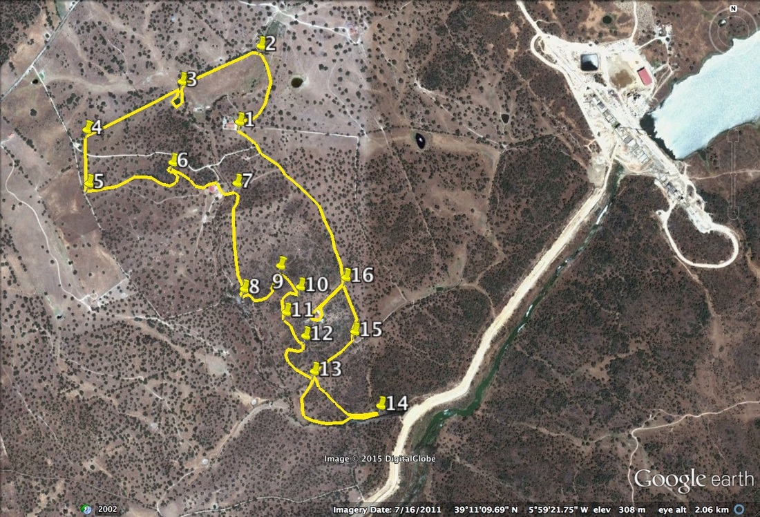
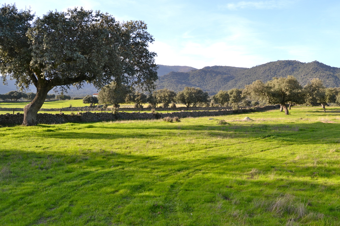
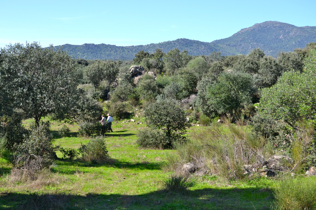
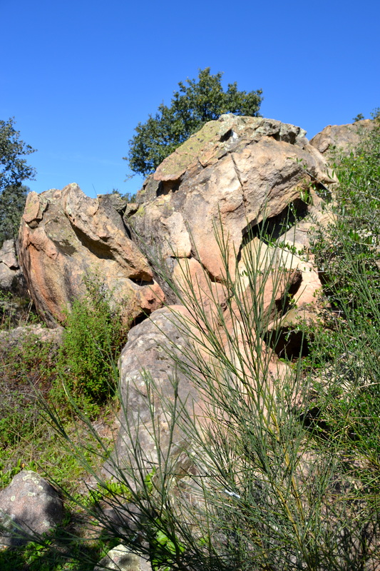
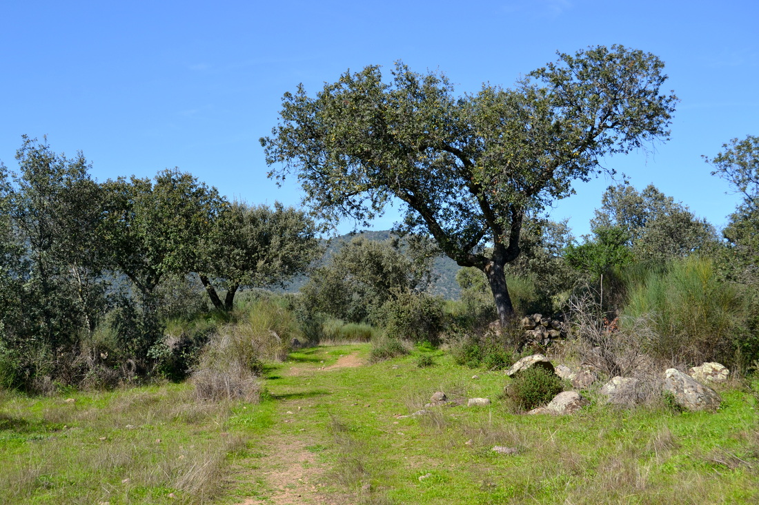
Information This short walk is on Las Gamitas, a private finca of over 50 hectares. It is approximately 3km west of Almoharín and is sign-posted from the roundabout on the EX-206 Cáceres-Miajadas road. Las Gamitas is a working farm set in the glorious dehesa so typical of Extremadura. There is a Casa Rural on the finca run by Carlos who speaks English. You are completely free to walk this route but should you want lunch or dinner as well, just contact Carlos by using the link on the links page. The route is way marked throughout: • yellow blobs appear on stones every 200m • blue arrows indicate the direction • red flashes are at places of especial interest Start: the Casa Rural on Las Gamitas Finish: the Casa Rural on Las Gamitas Time: 2 - 2.5 hours Distance: 5 kilometres — 11 kilometres if walking from Almoharín Elevation: lowest 260m, highest 330m Difficulty: low for everyone Route: circular — map by Google Directions At the sign-post on the lane coming west from the village of Almoharín, turn right. Follow the long drive and cross the small bridge to turn left to reach the Casa Rural. Park so as not to impede other vehicles. 1. N39º 11' 22.65" W05º 59' 40.40" With the Casa Rurl on your left walk along the footpath and head west. All around are the evergreen oaks typical of Extremadura. However, this is not a forest or even a wood but the dehesa, extensive pastures dotted with oaks that hold together the topsoil and give shade to grazing animals. As the path turns north the trees thin to give open views of part of the Sierra de Montánchez directly ahead. At a dry stone wall, turn left. 2. N39º 11' 30.31" W05º 59' 37.61" The path follows the wall on your right and the mountain views are delightful year-round. The pastures are decked with abundant flowers: white and yellow daisies, viper's bugloss and others, throughout the long Spring. Reach a small charca, or pond. 3. N39º 11' 26.72" W05º 59' 47.88" It is worth taking the time to walk around the water looking for signs of amphibians, dragonflies, butterflies and other flying insects. If you are very still, small birds may come to the water early or late in the day. Return to the wall and continue the walk. Just before reaching the entrance drive and the end of the wall, turn left and stop a moment. 4. N39º 11' 21.85" W06º 00' 00.00" You will be standing on a meridian line, exactly 6º west of the Greenwich Meridian. Walk straight ahead, keeping to the meridian line, crossing over the drive until you come to a small footpath. Turn left. 5. N39º 11' 16.40" W06º 00' 00.00" Follow the footpath as it bends slightly left, then right, through the oak trees to loop left round a denser copse of trees. Within the trees is a distinctive formation of granite rocks. Climb up the rocks for a view of the surrounding area but take care especially if the granite is wet. The largest rock is known as the 'Mirador del Zorro' the 'Fox's Lookout'. 6. N39º 11' 18.55" W05º 59' 49.08" Continue on the footpath to pass a huge livestock barn where you may see cattle or other grazing animals. Cross a stream bed which, depending on the time of year may be dry or running freely with water. Just after, at a multiple junction of footpaths and tracks turn right. 7. N39º 11' 16.46" W05º 59' 40.73" With the stream bed away on your right follow the path through the dehesa to come to a lookout over flat granite slabs in the stream bed where water cascades after the rains. This area is Las Lanchas. 8. N39º 11' 05.80" W05º 59' 39.79" Follow the path to loop left to reach the 'Cuesta de las Escobas'. 9. N39º 11' 08.15" W05º 59' 35.07" Then turn right to continue to a cork oak — the only one on the finca. 10. N39º 11' 06.01" W05º 59' 32.50" Continue and bend left to come to the Mesto. 11. N39º 11' 03.46" W05º 59' 34.34" Further on the path is the 'Roca Hendida'. 12. N39º 11' 01.07" W05º 59' 31.82" Loop through the trees and cross over a well-made track. Go through a gate in a dry stone wall. 13. N39º 10' 57.49" W05º 59' 30.70" Bear right, then left to walk closer to the stream bed and reach a body of water which will be on the right. This is water is part of the new River Burdalo reservoir system. The reservoir will be open for non-motorised sports in the Summer of 2015. It will also be a fine bird watching area. Just before the new canal and reservoir access road turn left. 14. N39º 10' 54.01" W05º 59' 22.05" Pick up a track back to cross the well-made track at gps13 again. Turn right then follow a wider track as it heads north. 15. N39º 11' 01.48" W05º 59' 25.42" Pass a turning on the left that leads to the private house on the finca. Also on the left are broom and retama bushes, very pretty when in flower. 16. N39º 11' 06.95" W05º 59' 26.57" Continue to walk on the track ahead. On the right there are cultivated fields. Depending on the time of year you may witness, harrowing, sowing, reaping or ploughing. There is always something to see on a working farm. The track will bring you back to the Casa Rural. Photos: December |
