|
Smugglers Route into Portugal (PR CC-188)
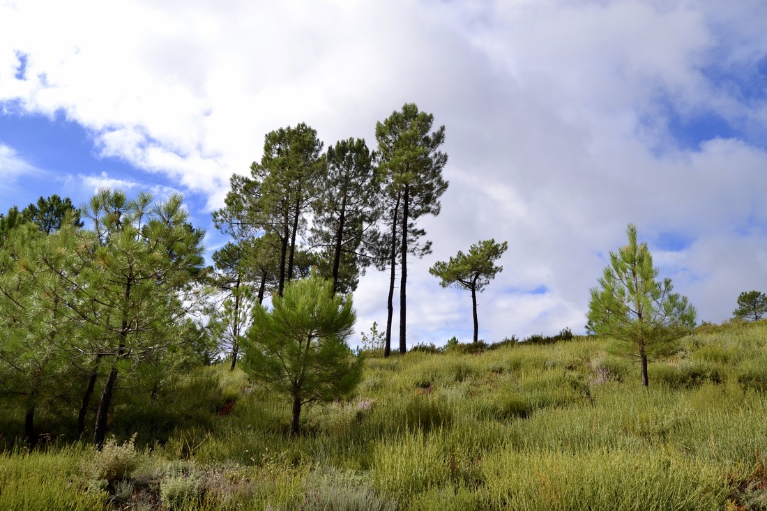
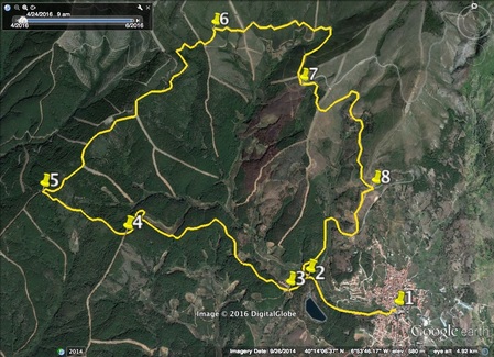
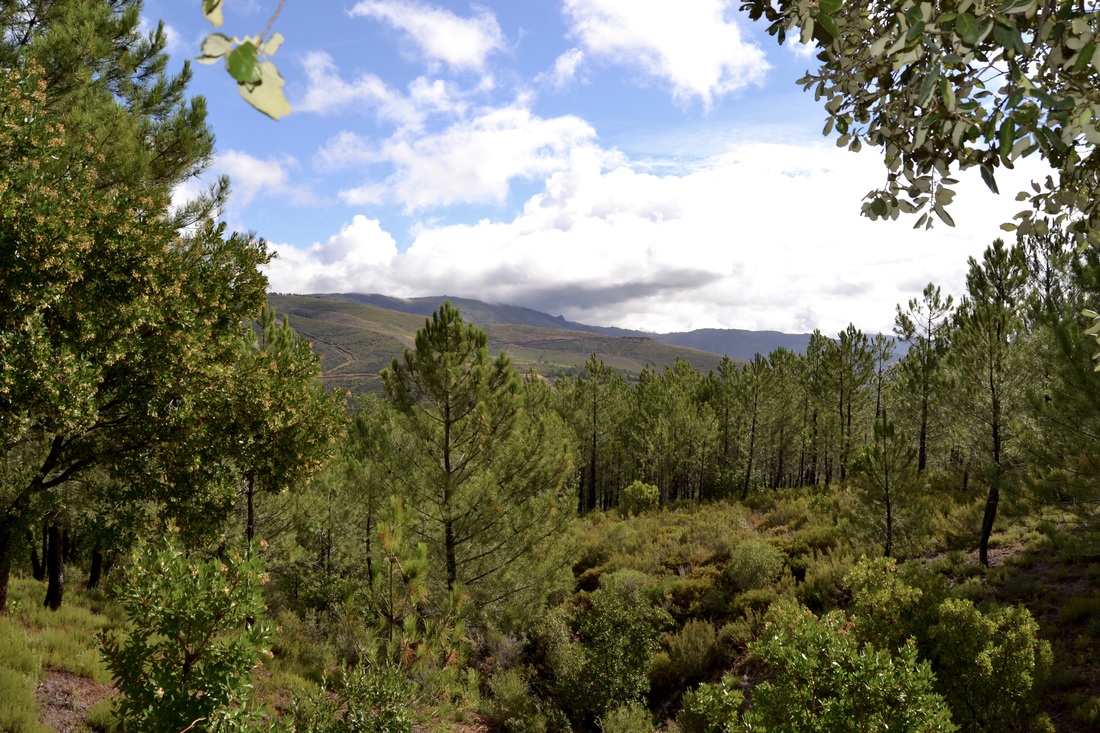
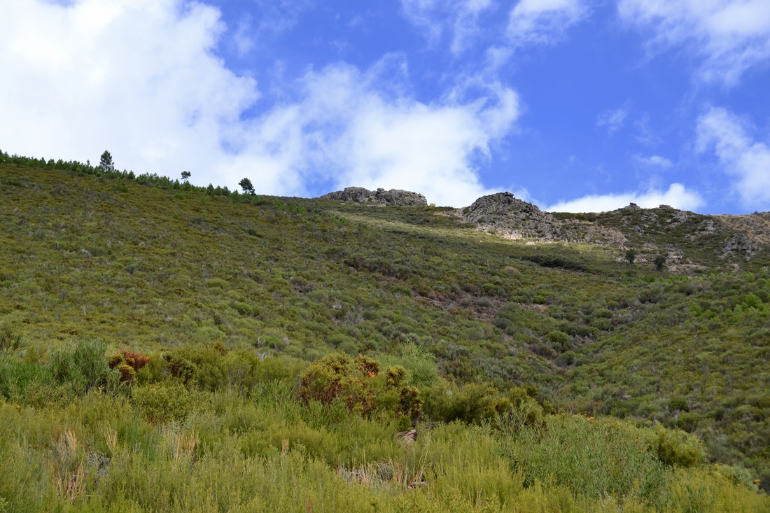
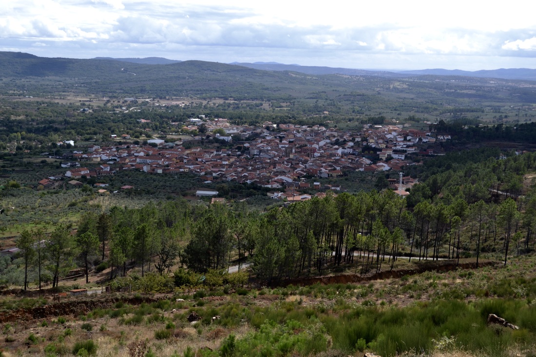
Information This walk starts and finishes in Valverde del Fresno, the most westerly village in the Sierra de Gata just a few kilometres from the Portuguese border. It's an old route used by smugglers in the days when tobacco and alcohol were heavily taxed and later, when guns were needed during the Civil War. People were also smuggled during the war. Later the main goods were coffee for the Spanish and meat for the impoverished Portuguese. The route passes the natural pool in Valverde, open during July and August. If walking very early during those months — to avoid the heat of the day — it may be worth taking swim kit along for after the walk. Start: Avda. Don Santos Robledo, Valverde del Fresno Finish: Avda. Don Santos Robledo, Valverde del Fresno Time: 4 hours Distance: 14.5km Elevation: lowest 482m, highest 784m Difficulty: medium-low Route: circular — map by Google Directions Start outside the Hotel La Palmera in the Avda Don Santos Robledo, Valverde del Fresno. Stand looking at the hotel and walk down the lane on the right of the hotel. There is a board of walks in the area on the right. 1. N40º 13' 23.53" W06º 52' 42.99" Once past the hotel, turn left to cross the River Elvas by the bridge. Turn right to walk up the lane to turn right again into Avda Salamanca. Follow the road around to the left, then straight along with the view of the river on the right and houses on the left. Reach a place where the road widens and splits in two: the right goes down to the recreational area of the natural pool, the left goes straight on. Go straight on. There are information boards and sign posts to help. Walk on the road, now the CCV-65 as it enters into a shady wooded area. Continue until there is a compacted earth track at a junction on the left. Take this track, left. 2. N40º 13' 34.86" W06º 53' 20.39" Walk up through the woods on the wide track. In season the verges are covered in flowering bushes. The occasional Madroño (Strawberry) tree grows near the track. The flowers are pretty in Spring but the fruits are not ready to eat until November. Reach a crossroad by an agricultural building on the right. Turn right after the building. 3. N40º 13' 30.28" W06º 53' 29.09" The track ascends gently and winds through the woods, mainly pine. There is one hairpin bend to the right, then left but no junctions until after the hairpin. Keep right on the track. Do not go left. 4. N40º 13' 48.97" W06º 54' 38.08" Ignore the next junction to reach multiple junctions and sign posts. Turn right on to a wide, well-made earth track. 5. N40º 14' 03.23" W06º 55' 15.50" The walk along the ridge, and is is effectively a ridge, gives views out over to the right. Do not turn off the main track. Ignore three junctions on the left and all firebreaks. Pass a granite trough with drinking water flowing from a pipe. Come out from the trees. Cross a wide firebreak and walk along the track that follows right around the curve of the valley head. All the views are to the right but there are higher outcrops of rock on the left. Reach the highest point of the route. 6. N40º 14' 14.19" W06º 53' 59.56" Continue around the curve of the valley. To reach Portugal take the next junction left (currently a fire break) after the highest point and the border is 700m away. Return. Reach the CCV-65 once more. 7. N40º 14' 50.09" W06º 53' 29.98" Walk on the road but, don't worry, traffic is minimal and local which means you are unlikely to see a car or anything else. Reach a junction on the right and take this rough track, right. 8. N40º 14' 06.12" W060 52' 51.79" The track descends quite steeply and gives lovely views towards the village and the village of Eljas in the distance. Rejoin the CCV-65, turn right and follow the road as it loops through trees to arrive back a GPS point 2. Retrace steps back to the start or stop off and have a swim in the natural pool. Back in the village La Palmera make an excellent lunch and serve a variety of refreshments. The village itself is worth exploring, especially the old part around the square. Other walks are signed but I'm not convinced by the way marks. Photos: October |
