|
The Walk of the River Ortiga and the Uranium Mine
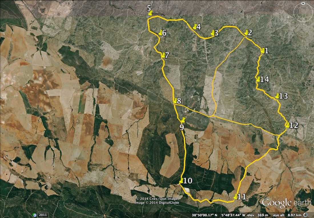
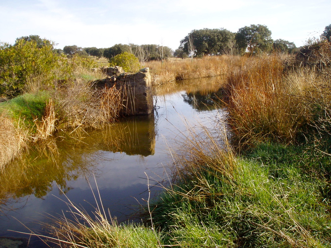
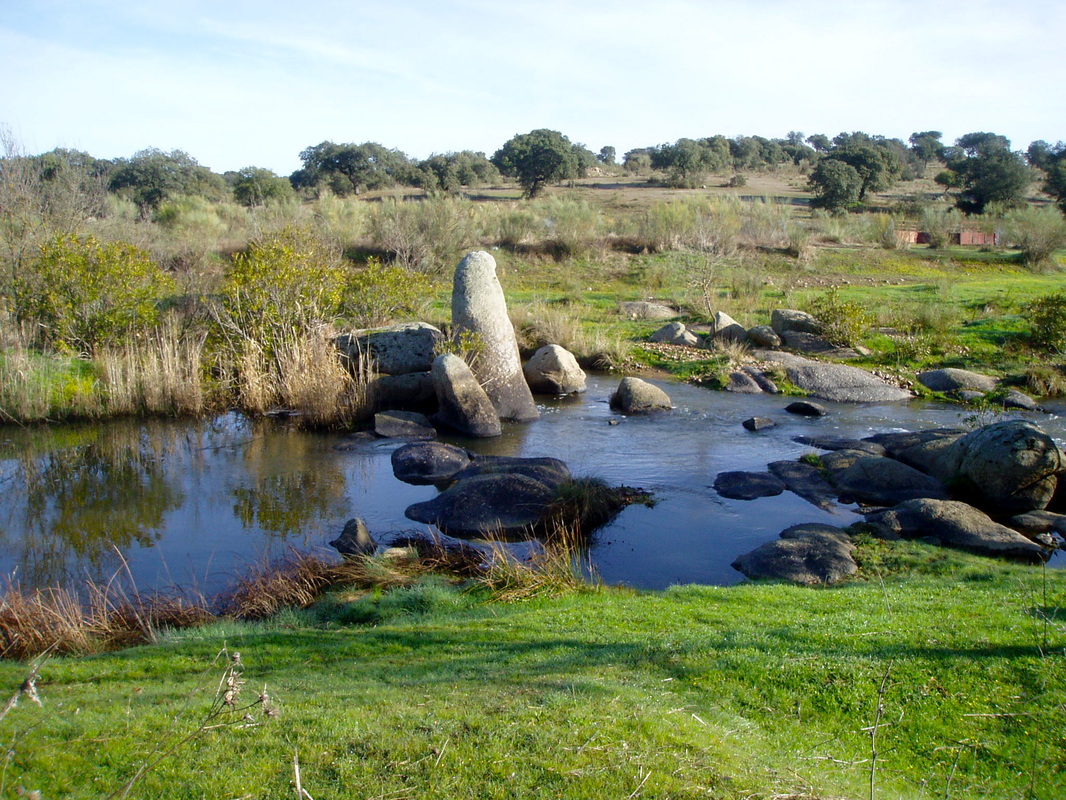
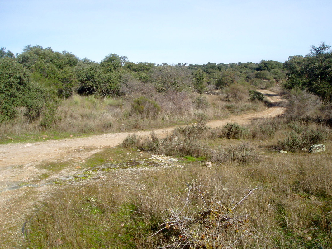
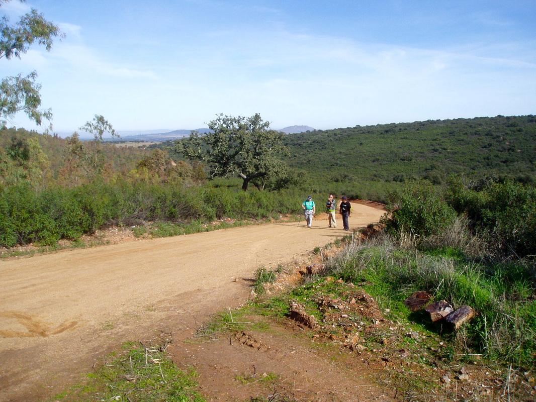
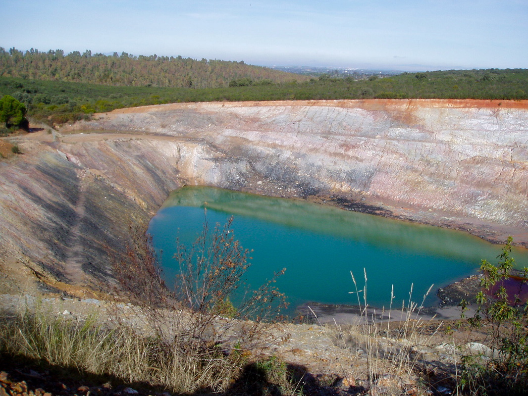
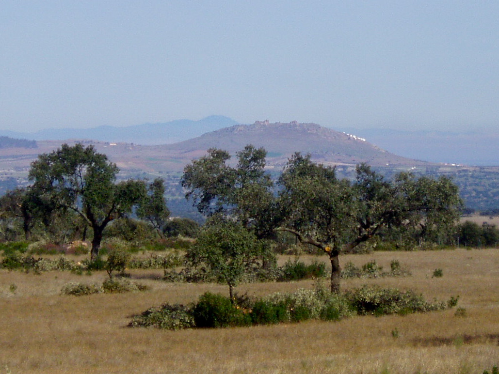
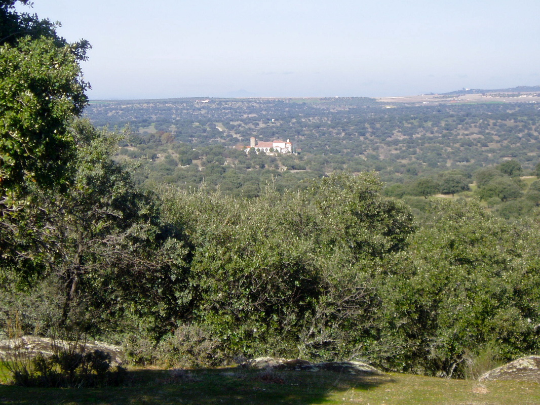
Information This easy, almost flat walk follows the pretty River Ortiga for the first 5km of the walk. The area is delightful in spring with many wild flowers, flowering bushes and deciduous trees in young leaf. Birds are attracted to the water. In late spring and early summer the many oleander bushes are in full flower and nature-lovers could walk out and back along the riverbank for a rewarding 10km walk — even in summer. The second part of the walk, and by far the longest, goes through the natural dehesa of Extremadura. A disused uranium mine is one of the 20th century points of interest along the way. Start: The Hermitage of Our Lady of Antigua, La Haba Finish: The Hermitage of Our Lady of Antigua, La Haba Time: 5 hours plus stops (or 3.75 hours and 3 hours or 2.5 hours) Distance: 19.65km (with two short cut circular options of 15.50km and 13.50km or an out-and-back walk of 10km) Elevation: lowest 307m, highest 482m Difficulty: low-medium, but the longest walk needs fitness Route: circular or out and back — map by Google Directions From the large town of Don Benito drive south on the EX-346 or EX-347, to the village of La Haba. Continue on the EX-346 towards Quintana de la Serena. On the left pass Magacela with its castle dominating the village. Look out for a sign for ‘Ermita de Nuestra Señora de la Antigua’ on the right. Leave the EX-346 and turn right at the sign on to a rough track. Follow the track to pass a small arched bridge on the right that crosses the River Ortiga. Cross the same river via the track bridge. Just after the bridge come to a T junction. Turn left. The river will be on the left. Drive up a small hill. Pass a cross on a small pile of rocks on the right to reach the hermitage on the left and park. 1. N38º 50' 58.00" W05º 46' 14.9" With the hermitage on the right, walk back down the hill, pass the cross, now on the left, to reach the T junction at the small arched bridge once more. Go forward a few paces, turn right and drop down to the bridge. Just before the bridge is a gate on the left. Go through the gate, which leads to a public right of way. Close the gate behind you. 2. N38º 51' 15.16" W05º 46' 34.1" Follow the footpath for the next 5kms. The path is well-trodden and easy to see. To the left, most of the way, is a fenced finca of pasture, low scrub and flowering bushes and holm oaks. Deciduous trees line the path at intervals. The river should always be on the right. There are many signs of agricultural buildings from many years ago and smooth granite boulders in or near the river. 3. N38º 51' 16.5" W05º 47' 23.3" Depending on the time of year and the previous winter’s rainfall the river’s level will vary. Pass through a second, and then a third, gate and close them behind you. Cross a spur of the river by walking over large flat boulders. 4. N38º 51' 24.3" W05º 47' 47.9" Continue on the path with the main river still on the right. Come to an area of giant, almost flat granite boulders and a many-arched bridge. 5. N38º 51' 38.8" N05º 48' 46.4" If the sun is high and hot, whatever time of year, now is the time to make the decision about continuing the walk or returning to the hermitage via the river footpath. Pass under the bridge and turn left away from the river. The bridge is on the left. Walk ahead to join the wide track that comes from over the bridge on the left. Walk ahead. Cross a cattle grid and veer left off the track on to a stony, compacted earth track. Enter an area of bushes and dehesa. Follow the track and ignore any small turnings, right or left. At a distinct crossroads with another compacted earth track, go straight across. 6. N38º 51' 17.7" W05º 48' 34.26" Depending on the time of year, a small stream may be running on the left where there are a profusion of flowering bushes and scattered smooth granite rocks. Ahead is an eucalyptus wood. Reach a cattle grid. Follow the track as it bends naturally to the left. 7. N38º 50' 53.7" W05º 48' 30.8" On the right, pass the eucalyptus wood. A little further, on the right, pass a signpost, Sender de los Puentes del Ortiga PR BA179. Continue going slightly uphill. Pass a low ford and continue up as the track winds around. Just after the ford is a Y junction. Follow the track to the right. Quickly reach a T junction and turn right once more. 8. N38º 50' 04.1" W05º 48' 13.0" If doing either of the shortcuts to GPS 2 or just before GPS 12 turn left here. Follow the map to reach either point — it's not difficult. The eucalyptus wood is now on the right. Leave the wood to come out into more open dehesa. The track bends left but continues ahead. At a Y junction, stay left. Enter a very stony, uneven stretch of the track. Enter another eucalyptus wood on the right. At a T junction, turn to the right. 9. N38º 49' 43.5" W05º 48' 03.6" Continue on a much smoother track. At a Y junction where there is a small lay-by, the right track goes up and the left goes down. Take the left track. Cross a small ford and climb up a small, quite sharp hill. The hill gives way to an extensive view. On the left is a wooded valley and ahead is an abandoned watchtower on a distant sierra. Just before a large, impressive house, ahead and on the right, turn left down a small, compacted earth road with a mature Mediterranean pine tree ahead. 10. N38º 48' 39.9" W05º 48' 07.2" This is the highest point of the walk. Ahead to the right is a pine wood, To the left is the abandoned uranium mine and looking back there is a great view of Magacela and its castle. Follow the road down, quite sharply, to pass the uranium mine on the left. It is quite a large mine and, at its peak employed 300 men. The road becomes wider and goes up to give a good view of the surrounding area. Pass Finca la Mina. 11. N38º 48' 22.2" W05º 46' 52.4" Pass some campo house on the right, then left and the dehesa stretches out in all directions. The view becomes more extensive out over the left. After a modern weekend house with swimming pool, reach Y junction. The road ahead peers out into a rough track but take the left turning which is a continuation of the well-made road we are following. Magacela is directly ahead as we walk down the road. Pass Finca las Jaras de Montero on the left and start to descend between stony fincas and holm oaks. The views are all ahead. At the bottom of the hill the surroundings level out into meadows. The road remains wide and easy to walk on. At a vague crossroads continue ahead. 12. N38º 49' 38.5" W05º 45' 40.7" Pass a young olive grove on the right and a lovely sweeping hillside on the left. Ahead are olive groves on the left. Keep on the road as it ascends, descends and twists and turns. At the top of a hill, turn left. 13. N38º 50' 10.2" W05º 45' 56.3" Pass through metal gates and close them behind you. You are now entering a private finca, Finca Paredeja al Cortijo, where the owner allows rights of way to all responsible walkers. That’s us. Follow the very clear track and do not move off the track. The track leads through the finca all the way back to the hermitage. The track does meander and gives stunning views all around. There are many wind and rain eroded granite boulders scattered around the finca reminiscent of those in the Los Barruecos natural park. Just at the turning that goes right towards the main farmhouse, leave the track, to go straight on up to a small rise. 14. N38º 50' 27.3" W05º 46' 21.0" Go down the other side of the rise. Ahead and to the right the hermitage can be seen. Walk ahead and pick up a small track. Come to a gate. Go through and close it behind you. Follow the slight track, made by vehicles, and at a vague Y junction go straight on to join the well made track you can see ahead. Join the track and turn left. Keep on this track. Come to a weekend house. The track passes to the right — the house is on the left. The track bends and drops down towards the hermitage, ahead in the distance. As the lane twists and turns reach a metal gate. Go through and close it behind you. Once through the gate, ignore a vague crossroad. Keep ahead and the track brings you back to the hermitage and the car. Photos: January |
