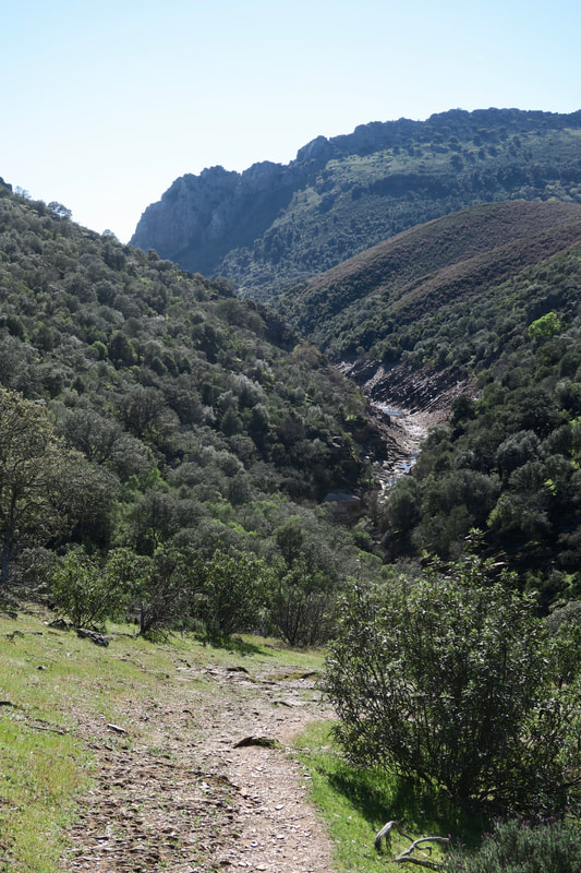
The Arroyo Malvecino meanders its way through Monfragüe

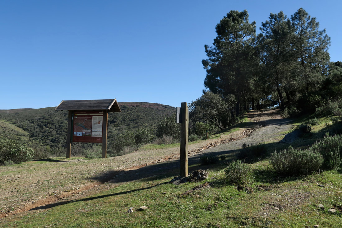
The open area where several routes converge; all signposted
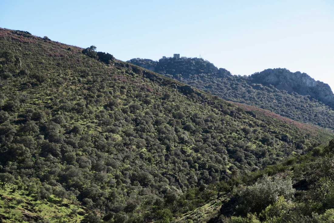
Monfragüe Castle over the river valley
|
The Green Route — Ruta Verde
Information This route in Monfragüe is signposted throughout with posts with green bands painted on them. It is a popular walk but not totally easy with parts that are rather up and down. It follows, for the most part, the Arroyo Malvecino. It has bridges to cross and good views, especially from the top of Cerro Gimio where there are the remains of an old Roman look-out. Especially beautiful in April and May when the cistus bushes are in flower. However, the final walk back to the car park has little shade so take hats and water and wear sun screen. Take binoculars. Start: the car park just above Villareal de San Carlos Finish: the car park just above Villareal de San carlos Time: 3 hours Distance: 7.90 kilometres Elevation: lowest 232m, highest 345m Difficulty: medium Alternative route along the Arroyo Malvecino from GPS 4 Distance: 5.45 kilometres Elevation: lowest 232m highest 262m Routes: circular — map by Google Directions Park in the car park just above Villareal de San Carlos. 1. N39 50' 50.75" W06 01' 45.07" Cross the EX-208 just by the shop/café at the edge of the village. 2. N39 50' 50.75" W06 01' 51.90" Ignore any turnings and follow the track as it goes gently up and down and narrows to an earth footpath. It passes many flowering bushes, especially cistus. Reach a waymark and turn right to descend on a path through bushes and trees. The view appears ahead of the Arroyo Malvecino and, depending on the previous month's rainfall, it can look very pretty indeed. Reach a definite right turn and continue on the path. 3. N39 50' 36.17" W06 02' 36.29" Descend to cross a bridge over the stream. 4. N39 50' 33.20" W06 02' 54.55" Once over the stream there is a steep, but short, climb up. The rocky ground is not difficult to negotiate but take extra care if walking in the wet. Reach an open area where several different routes meet. All are signposted. 5. N39 50' 42.52" W06 03' 07.74" From this point the climb up to Cerro Gimio and the Roman look-out ruins is clearly marked. The view from the top is out over the Tajo river below, and the Moorish Castle on its crag on the sierra opposite. Descend back to GPS5 and continue on the path waymarked in green. The view on the right is of wooded sierra slopes with the castle in the background. Reach an old stone bridge. It has fallen into disrepair and cannot be crossed. Look left to find a path. Take this small path, left, as it ascends. 6. N39 50' 51.50" W06 02' 42.40" Continue on the path to come to a junction with a lane. Turn right. 7. N39 50' 58.25" W06 02' 41.64" The lane reaches a shady picnic spot and it bends around to the right and continues, climbing slightly. 8. N39 51' 03.35" W06 02' 02.10" The last stretch is a fairly wide track that has been laid to paving slabs. It arrives back at the EX-208 and a parking lay-by. Turn right and descend back to the car park and refreshment opportunities in Villareal. 9. N39 50' 58.87" W06 01' 55.71" Photos: March (The text is in bold but I have no idea why.) |