|
Sierra de San Cristobal Walk
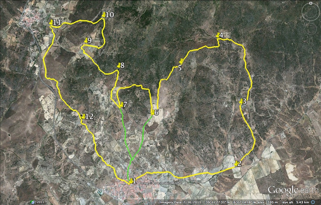
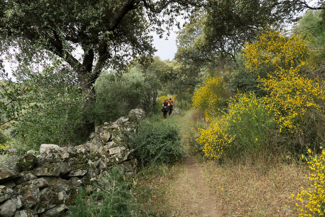
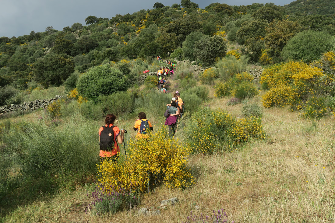
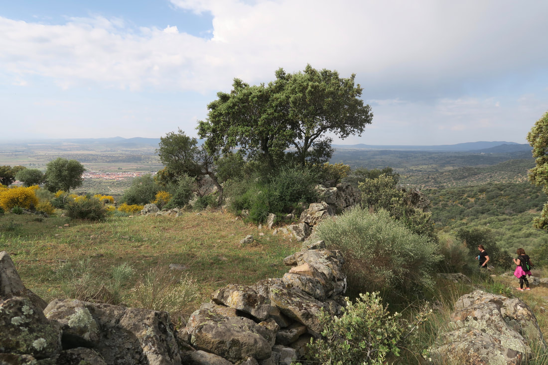
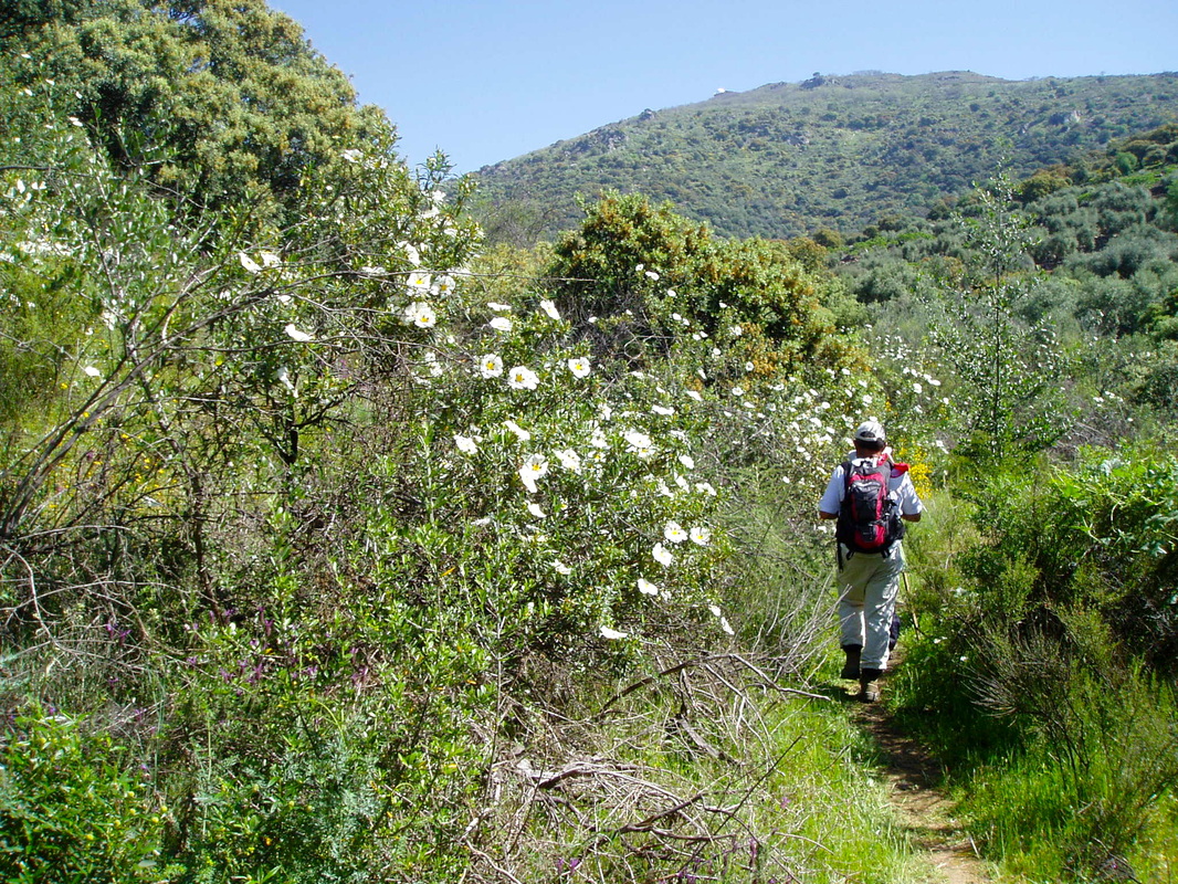
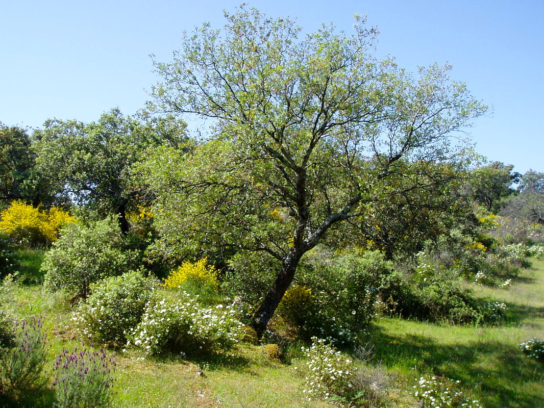
Information This walk does not go to the top of the Cerro San Cristobal but goes over a spur and then meanders along the southern slopes of the sierra. It is the Almoharín Walking Group's yearly invitation route and is traditionally walked the last weekend in March when the pink and white cistus bushes are in bloom. The walk is cleverly planned so that there are two opportunities to cut the walk shorter, thereby ensuring that almost everyone can enjoy at least part of the route. The route is signed throughout with red wooden finger signs and yellow and white flashes painted on rocks. Start: Plaza de España, Almoharín Finish: Plaza de España, Almoharín Time: between 2.5 and 5 hours depending on the route(s) chosen Distance: this will depend on the route(s) chosen • 9.55 kilometres (GPS 1, 2, 3, 4, 5, 6 and back to 1) • 4.63 kilometres (GPS 1, 6, 7 and back to 1) • 10.86 kilometres (GPS 1, 7, 8, 9, 10, 11, 12 and back to 1) • 11.22 kilometres (GPS 1, 2, 3, 4, 5, 6, 7 and back to 1) • 12.41 kilometres (GPS 1, 6, 7, 8, 9, 10, 11, 12 and back to 1) • 18.00 kilometres (the whole route) The math makes sense if you add in the two links from GPS 1 to 6 or 1 to 7. Elevation: lowest 308m (at GPS1), highest 550m (at GPS5) Difficulty: medium Route: circular — map by Google Directions The walk starts in the Plaza de España. 1. N39º 10' 35.11" W06º 02' 39.27" Go around the back of the church and straight down Calle Real. Turn left and keep going to leave the village in an eastward direction on a series of compacted earth lanes. At a finger sign turn left on to a soft earth track with dry stone walls on either side. To the left are views of the sierra. There are many oak trees and the paths from now on are lined with flowering bushes. Birdsong is a feature of the route in spring. 2. N39º 10' 46.23" W06º 01' 13.63" At the top of the track turn left on to a compacted earth lane that is fairly flat. Follow it until there is a junction. Turn right. 3. N39º 11' 25.58" W06º 01' 09.56" The lane narrows to become, effectively, a path. It becomes a bit rougher and goes up gently then more steeply. It is an area of pasture with occasional grazing animals. Reach an area of large, flat granite rocks where the Hoya stream flows in small waterfalls in the winter and pools the rest of the year apart from summer. Cross the Hoya using the stepping stones. Follow the finger sign to turn right. After about 100m turn sharp left by the finger sign along a very narrow, but pretty, path. 4. N39º 12' 07.33" W06º 01' 28.55" The path comes out at open ground with spectacular views on the left out over the plains towards Don Benito and beyond. Continue ahead as the open ground falls behind. The path gets narrower, much rougher and, at one point, extremely steep. Continue up to reach the highest point of the walk with wonderful views on both sides of the sierra spur. 5. N39º 11' 50.96" W06º 01' 58.39" As the walk continues down the other side of the spur the terrain becomes very rocky underfoot and some attention needs to be given to the footsteps. However, don't forget to pause, now and then, and look at the view, including Almoharín. At the bottom of the rocky section turn left. Follow the track to the first junction that offers a short-cut, straight down the hill back to the village via the Ermita de Santa Filomena. (On invitation day there is a lemonade stop 100m before the junction). 6. N39º 11' 18.53" W06º 02' 21.26" At the junction turn sharp right to walk up a narrow concrete path which soon becomes a pretty earth footpath. This part of the walk is gently upwards. There are good views of the Cerro San Cristobal on the right and the path is surrounded by flowering bushes with wild flowers everywhere in spring. The path loops around to the left — there are no junctions — and reaches the second short-cut option, straight down the lane to the village via the same hermitage as before. 7. N39º 11' 23.48" W06º 02' 46.83" Turn right to walk on a wide compacted earth lane and then turn right again at the finger sign. The track is initially concrete but becomes a bit rocky and goes up gently. Follow the track as it bends sharply left. 8. N39º 11' 48.26" W06º 02' 48.97" The track becomes a narrow foot path that has a wood on the right and open views on the left. It becomes very steep but zig-zags to make the climb easier. Continue to reach a series of small fincas and lanes but keep straight ahead. Turn right by the sign. 9. N39º 12' 04.02" W06º 03' 15.71" Follow the finger signs as the walk loops right again on a concrete track and passes fincas. The track goes uphill steeply to turn left on to a narrow earth footpath. The footpath follows the line of the sierra with stunning views out over the valley on the left. Continue as the path loops to the left and passes cistus bushes in glorious flower in spring. Reach a concrete lane coming from the direction of Cancho Blanco and dropping down to Valdemorales. Turn left at the finger sign. 10. N39º 12' 20.24" W06º 03' 01.37" Follow the pretty lane as it drops down towards the village. Turn left at the sign before the walk enters the village and continue on a narrow track which reaches a wide compacted earth lane. 11. N39º 12' 15.43" W06º 03' 44.21" Using the yellow and white flashes and signs as a guide follow the lane. At one point it goes downhill very steeply but the views of the sierra to the left are impressive. At the bottom of the steep hill there is a Y junction. Go left. At the next large Y junction keep left. Reach a small house on the right. There is a finger sign and a small path to the right before the house. Take this path, right. 12. N39º 11' 15.97" W06º 03' 17.84" The path has many junctions but is well signed with the yellow and white flashes. Always go as straight ahead as possible. Most of the paths are lined with dry stone walls because this is an area of small olive fincas but the verges are pretty with many wild flowers in spring. Reach the outskirts of the village and continue the walk to the plaza and some refreshments. Photos: March, April and May |
